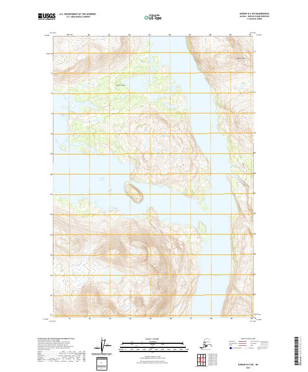
2021 Map of Kodiak D-4 SW
USGS Topo · Published 2021About this map
Uganik Island and the neighboring western coastline of Kodiak Island define this coastal survey, where steep terrain meets the deep water channels of the Aleutians. The topography is dominated by sharp elevation changes rising from the shoreline, framing the narrow waters of Uganik Passage as it winds between the two landmasses. To the southeast, the map captures the opening of Terror Bay, a significant coastal indentation. This modern topographic record illustrates a landscape almost entirely defined by its natural hydrology and relief, showing no road networks or permanent settlements. It provides a precise view of the complex shoreline and drainage patterns for a remote portion of the Kodiak Archipelago, useful for documenting the exact coastal boundaries and landform elevations in this maritime environment.
Find a feature on this map
10 named features on this map. Tap any name to fly to it.
Don’t see what you’re looking for? This feature index may not catch every label — zoom into the map to look around manually.
Map Details
Editions of this 2021 Kodiak D-4 SW Map
This is the sole edition of this map. No revisions or reprints were ever made.
Other maps of this area

1952 · Kodiak
USGS Topo · 1:250,000

1952 · Kodiak C-4
USGS Topo · 1:63,360

1952 · Kodiak C-5
USGS Topo · 1:63,360

1952 · Kodiak D-5
USGS Topo · 1:63,360

1952 · Kodiak D-4
USGS Topo · 1:63,360
1954 · Kodiak C-4
USGS Topo · 1:63,360
1954 · Kodiak D-5
USGS Topo · 1:63,360
1954 · Kodiak D-4
USGS Topo · 1:63,360
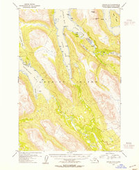
1954 · Kodiak C-5
USGS Topo · 1:63,360
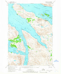
1965 · Kodiak D-4
USGS Topo · 1:63,360