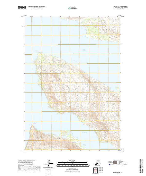
2021 Map of Kodiak D-5 SE
USGS Topo · Published 2021About this map
Uganik Passage and the Northeast Arm Uganik Bay define the coastal topography of this portion of Kodiak Island. This maritime landscape is marked by sharp topographic transitions from the shoreline to high ridge lines, with prominent coastal markers such as Mesa Rocks and East Point in the north, and Rock Point and Starr Point further south. The land is organized by the Public Land Survey System, including townships such as t27s r26w and t27s r25w, which delineate the steep island interior. This survey provides a precise view of the undeveloped shoreline and the intricate drainage patterns flowing into the surrounding saltwater channels before recent environmental shifts.
Find a feature on this map
12 named features on this map. Tap any name to fly to it.
Don’t see what you’re looking for? This feature index may not catch every label — zoom into the map to look around manually.
Map Details
Editions of this 2021 Kodiak D-5 SE Map
This is the sole edition of this map. No revisions or reprints were ever made.
Other maps of this area

1952 · Kodiak
USGS Topo · 1:250,000

1952 · Kodiak C-4
USGS Topo · 1:63,360

1952 · Kodiak C-5
USGS Topo · 1:63,360

1952 · Kodiak D-5
USGS Topo · 1:63,360

1952 · Kodiak D-4
USGS Topo · 1:63,360
1954 · Kodiak C-4
USGS Topo · 1:63,360
1954 · Kodiak D-5
USGS Topo · 1:63,360
1954 · Kodiak D-4
USGS Topo · 1:63,360
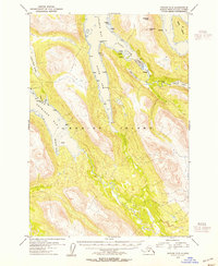
1954 · Kodiak C-5
USGS Topo · 1:63,360
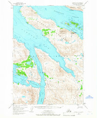
1965 · Kodiak D-4
USGS Topo · 1:63,360