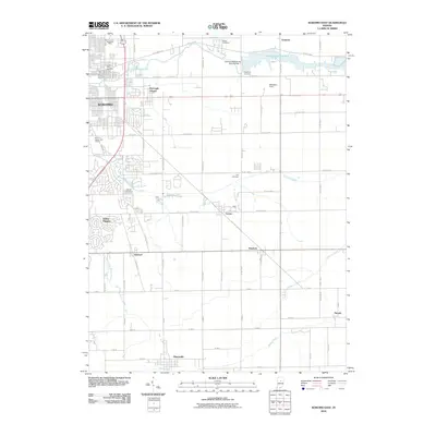
2010 Map of Kokomo East
USGS Topo · Published 2010About this map
Wildcat Creek and its tributaries carve a path through this Eastern Howard County landscape, anchored by the expansion of Kokomo and its outlying communities. The map highlights the essential water infrastructure of the region, including Kokomo Reservoir No 2 and the Kokomo Waterworks Dam Number 2. Small, established settlements like Hemlock, Center, and Oakford are situated along a grid of rural roads, reflecting the agricultural and residential transition typical of Central Indiana in the early 21st century.
Find a feature on this map
73 named features on this map. Tap any name to fly to it.
Don’t see what you’re looking for? This feature index may not catch every label — zoom into the map to look around manually.
Map Details
Editions of this 2010 Kokomo East Map
This is the sole edition of this map. No revisions or reprints were ever made.
Other maps of this area

1953 · Danville
USGS Topo · 1:250,000

1953 · Muncie
USGS Topo · 1:250,000

1955 · Danville
USGS Topo · 1:250,000

1956 · Muncie
USGS Topo · 1:250,000

1956 · Danville
USGS Topo · 1:250,000

1959 · Galveston
USGS Topo · 1:24,000

1959 · Miami
USGS Topo · 1:24,000

1960 · Kokomo West
USGS Topo · 1:24,000

1960 · Kokomo East
USGS Topo · 1:24,000

1960 · Kempton
USGS Topo · 1:24,000