Loading...
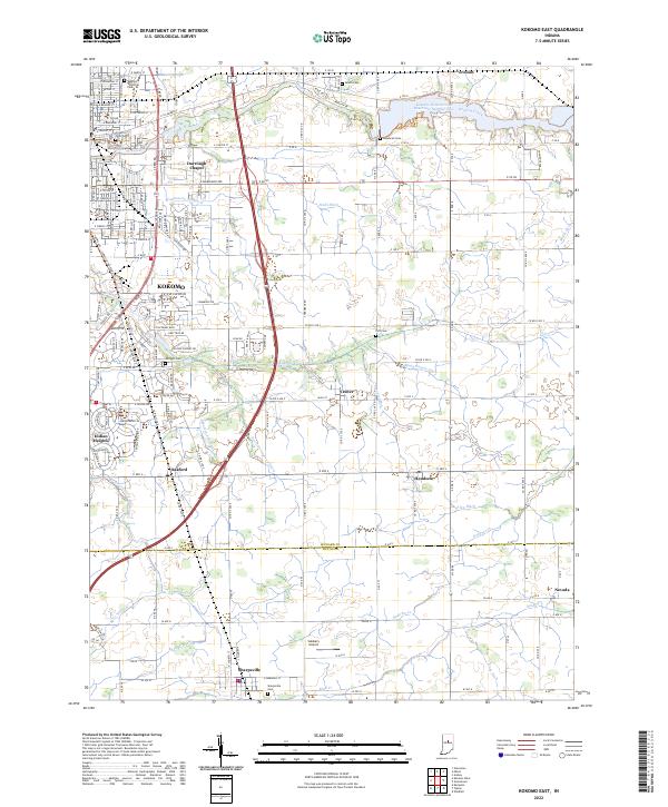
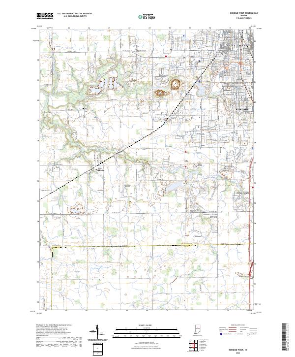
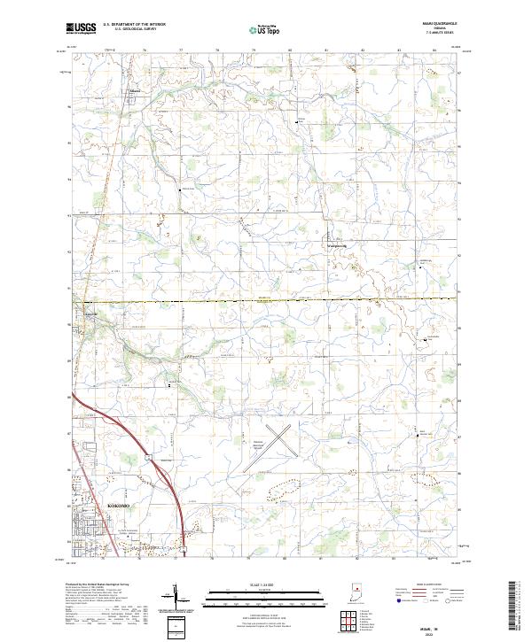
Loading map...2022 Map of Kokomo East
USGS Topo · Published 2022About this map
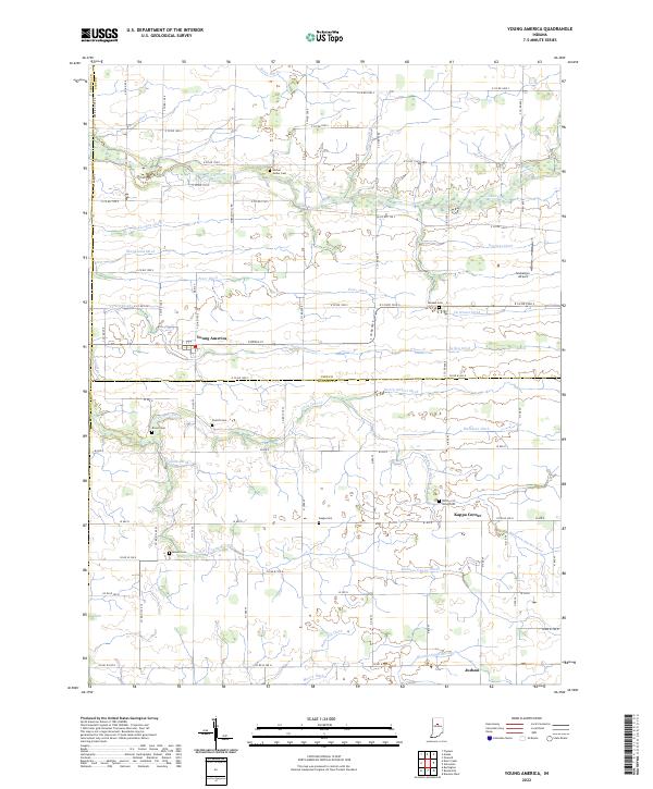
Wildcat Creek and the Kokomo Waterworks Reservoir Number Two define the northern landscape of this Howard County area, where suburban expansion meets traditional Indiana farmland. The eastern reaches of Kokomo transition into smaller outlying settlements like Darrough Chapel, Vermont, and Center. Local history and genealogy interests are well-represented by numerous burial grounds, including the expansive Crown Point Cem and Kokomo Memorial Park.
Find a feature on this map
87 named features on this map. Tap any name to fly to it.
Don’t see what you’re looking for? This feature index may not catch every label — zoom into the map to look around manually.
Map Details
Date Portrayed2022
Date Published2022
PublisherU.S. Geological Survey
Map TypeTopographic
Scale1:24000
Physical Dimensions24 x 29 inches
Editions of this 2022 Kokomo East Map
This is the sole edition of this map. No revisions or reprints were ever made.
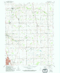
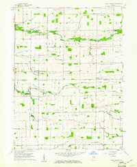
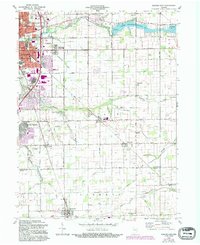
Historical Maps of Darrough Chapel Through Time
9 maps found
Featured Locations
Source Details
SourceU.S. Geological Survey
CopyrightPublic Domain