
1963 Map of Koloa
USGS Topo · Published 1965About this map
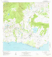
The agricultural landscape of southern Kauai is defined here by an intricate network of water management and sugar production. Centered on Koloa, the map details a vast array of irrigation infrastructure, from the massive Waita Reservoir to smaller basins like Alexander Reservoir and the Pia Mill Res. These systems supported the local industry anchored by the Koloa Mill, which is shown alongside the Koloa Mill Airstrip. The coastline transitions from the industrial history of Koloa Landing to the developing recreational areas at Poipu Beach Park and Spouting Horn Park.
Find a feature on this map
150 named features on this map. Tap any name to fly to it.
Don’t see what you’re looking for? This feature index may not catch every label — zoom into the map to look around manually.
Map Details
Editions of this 1963 Koloa Map
2 editions found
Other maps of this area

1954 · Kauai
USGS Topo · 1:250,000

1963 · Lihue
USGS Topo · 1:24,000

1963 · Hanapepe
USGS Topo · 1:24,000

1963 · Kapaa
USGS Topo · 1:24,000

1965 · Waimea Canyon
USGS Topo · 1:24,000

1965 · Waialeale
USGS Topo · 1:24,000

1967 · Kauai
USGS Topo · 1:250,000

1970 · Kauai
USGS Topo · 1:250,000
1977 · Hanapepe
USGS Topo · 1:24,000

1978 · Kapaa
USGS Topo · 1:24,000