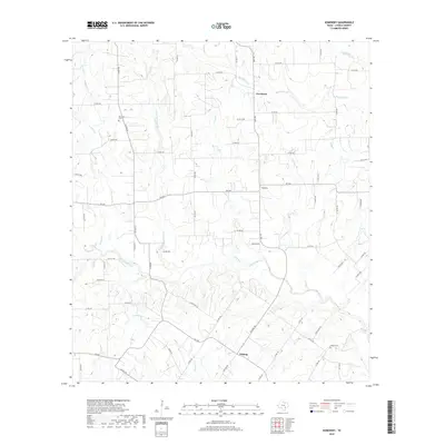
2019 Map of Komensky
USGS Topo · Published 2019About this map
Lavaca River and its numerous tributaries, including the N Fork Lavaca River and Liveoak Cr, define the drainage patterns of this central Texas landscape. In the late 2010s, this area of Lavaca County remains characterized by rural ranching and agricultural operations, connected by an intricate network of county roads like Witting Rd and Co RD 256. Small, persistent settlements such as Komensky and Novohrad anchor the map, while Witting sits at a major southern junction. Local history is preserved in the Baurville Cem and Breslau Cem, which serve as genealogical touchstones for families tied to these communities. The terrain is marked by gentle undulations around watercourses like Smothers Cr and Big Rocky Cr, showing the persistent rural character of the region decades after its initial settlement.
Find a feature on this map
67 named features on this map. Tap any name to fly to it.
Don’t see what you’re looking for? This feature index may not catch every label — zoom into the map to look around manually.
Map Details
Editions of this 2019 Komensky Map
This is the sole edition of this map. No revisions or reprints were ever made.
Other maps of this area

1901 · Flatonia
USGS Topo · 1:125,000

1919 · Schulenburg
USGS Topo · 1:62,500

1953 · Seguin
USGS Topo · 1:250,000

1958 · Seguin
USGS Topo · 1:250,000

1962 · Hallettsville
USGS Topo · 1:24,000

1965 · Schulenburg
USGS Topo · 1:24,000

1965 · Wied
USGS Topo · 1:24,000

1965 · Komensky
USGS Topo · 1:24,000
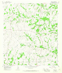
1965 · Moravia
USGS Topo · 1:24,000

1965 · Flatonia
USGS Topo · 1:24,000