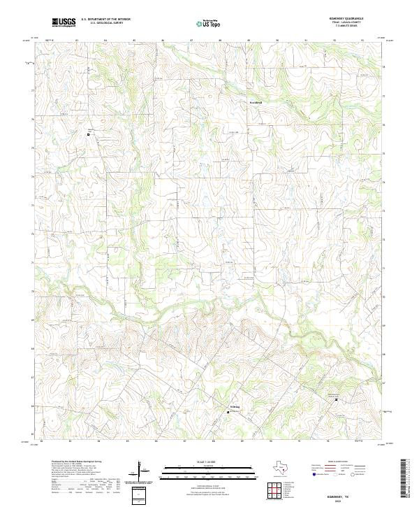
2022 Map of Komensky
USGS Topo · Published 2022About this map
The Lavaca River and its numerous tributaries, including the N Fork Lavaca River and Smothers Cr, define the rural geography of this Lavaca County landscape. This 2022 survey documents a region characterized by small agricultural settlements and a network of county roads. The small communities of Novohrad and Witting serve as local anchors, each tied to the land through generations of occupancy.
Find a feature on this map
67 named features on this map. Tap any name to fly to it.
Don’t see what you’re looking for? This feature index may not catch every label — zoom into the map to look around manually.
Map Details
Editions of this 2022 Komensky Map
This is the sole edition of this map. No revisions or reprints were ever made.
Other maps of this area

1901 · Flatonia
USGS Topo · 1:125,000

1919 · Schulenburg
USGS Topo · 1:62,500

1953 · Seguin
USGS Topo · 1:250,000

1958 · Seguin
USGS Topo · 1:250,000

1962 · Hallettsville
USGS Topo · 1:24,000

1965 · Schulenburg
USGS Topo · 1:24,000

1965 · Wied
USGS Topo · 1:24,000

1965 · Komensky
USGS Topo · 1:24,000
1965 · Moravia
USGS Topo · 1:24,000

1965 · Flatonia
USGS Topo · 1:24,000