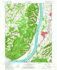
1960 Map of Kosmosdale
USGS Topo · Published 1961About this map
The Ohio River divides this 1960 landscape, separating the high, wooded ridges of Harrison County from the developing riverfront communities of Jefferson County. On the Kentucky side, the mid-century suburban expansion is evident in the residential grids of Meadow Lawn, Valley Gardens, and Valley Station, which stand in sharp contrast to the industrial and military presence to the south. The massive Fort Knox Military Reservation occupies a significant portion of the southern terrain, where Knob Creek and Pond Creek converge toward the river near the community of Kosmosdale.
Find a feature on this map
84 named features on this map. Tap any name to fly to it.
Don’t see what you’re looking for? This feature index may not catch every label — zoom into the map to look around manually.
Map Details
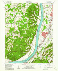
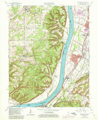
Editions of this 1960 Kosmosdale Map
Other maps of this area

1909 · Kosmosdale
USGS Topo · 1:48,000

1912 · Kosmosdale
USGS Topo · 1:62,500

1931 · Corydon
USGS Topo · 1:62,500

1936 · Vine Grove
USGS Topo · 1:62,500

1941 · Ekron
USGS Topo · 1:62,500

1943 · Vine Grove
USGS Topo · 1:62,500

1946 · Rock Haven
USGS Topo · 1:24,000

1946 · Pitts Point
USGS Topo · 1:24,000

1946 · Fort Knox
USGS Topo · 1:24,000

1946 · Vine Grove
USGS Topo · 1:62,500