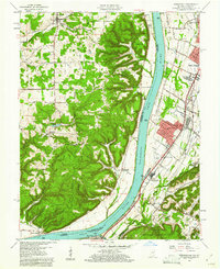
1960 Map of Kosmosdale
USGS Topo · Published 1967About this map
The Ohio River carves a deep valley through this 1960 survey, separating the high, wooded ridges of Harrison County, Indiana, from the expanding residential and industrial corridors of Jefferson County, Kentucky. On the Kentucky side, the postwar growth of Valley Station and Valley Gardens is evident, centered along the Dixie Highway and the Louisville and Nashville Railroad. The landscape is a mix of small-town institutions and heavy infrastructure, including the Watson Lane Sch, several churches like Ashby Lane Ch, and industrial sites such as the Sewage Disposal and Filtration Plant.
Find a feature on this map
78 named features on this map. Tap any name to fly to it.
Don’t see what you’re looking for? This feature index may not catch every label — zoom into the map to look around manually.
Map Details
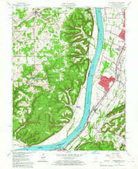
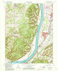
Editions of this 1960 Kosmosdale Map
Other maps of this area

1909 · Kosmosdale
USGS Topo · 1:48,000

1912 · Kosmosdale
USGS Topo · 1:62,500

1931 · Corydon
USGS Topo · 1:62,500

1936 · Vine Grove
USGS Topo · 1:62,500

1941 · Ekron
USGS Topo · 1:62,500

1943 · Vine Grove
USGS Topo · 1:62,500

1946 · Rock Haven
USGS Topo · 1:24,000

1946 · Pitts Point
USGS Topo · 1:24,000

1946 · Fort Knox
USGS Topo · 1:24,000

1946 · Vine Grove
USGS Topo · 1:62,500