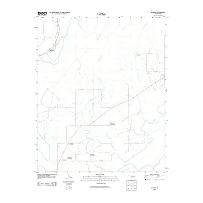
2010 Map of Kosoma
USGS Topo · Published 2010About this map
The Kiamichi River defines the western landscape of this Pushmataha County region, meandering through a network of tributary creeks that have shaped the local geography for generations. At the heart of this rural area is the settlement of Kosoma, while the small community at Sunshine Hollow sits further east near the banks of Chickasaw Creek. The presence of several numbered structures, including Oknoname 127010 Dam and Oknoname 127007 Dam, indicates modern water management efforts across the drainage basins of Little Cedar Creek and Briar Branch Creek. For genealogists, the Finley Cemetery provides a specific point of interest in the eastern section of the map, situated among a web of local routes like Bug Tussel Rd and Wild Mare Ranch Rd.
Find a feature on this map
33 named features on this map. Tap any name to fly to it.
Don’t see what you’re looking for? This feature index may not catch every label — zoom into the map to look around manually.
Map Details
Editions of this 2010 Kosoma Map
This is the sole edition of this map. No revisions or reprints were ever made.
Other maps of this area

1901 · Antlers
USGS Topo · 1:125,000

1901 · Alikchi
USGS Topo · 1:125,000

1912 · Antlers
USGS Topo · 1:125,000

1925 · Antlers
USGS Topo · 1:125,000

1950 · Mcalester
USGS Topo · 1:250,000

1957 · Moyers
USGS Topo · 1:24,000

1957 · Jumbo
USGS Topo · 1:24,000

1961 · Antlers East
USGS Topo · 1:24,000

1961 · Antlers West
USGS Topo · 1:24,000

1962 · McAlester
USGS Topo · 1:250,000