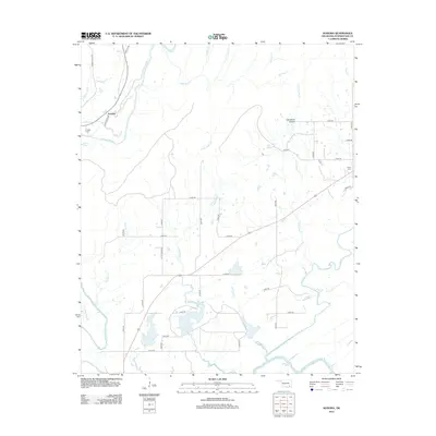
2013 Map of Kosoma
USGS Topo · Published 2013About this map
The settlement of Kosoma sits at the northern edge of this Pushmataha County landscape, where the Kiamichi River winds through the river valley. Local family history is centered at the Kosoma Cem and Finley Cem, while the rugged geography is marked by landmarks like Sunshine Hollow and numerous tributaries including Chickasaw Cr and Little Cedar Cr. The drainage pattern is complex, featuring the Judge Cox Br and Lily Pond Cr, reflecting a landscape defined by its waterways. The local road network, including Old Kosoma Rd and Little Cedar Rd, connects these rural homesteads and valley points, providing a clear record of the area's development and land use in the early twenty-first century.
Find a feature on this map
45 named features on this map. Tap any name to fly to it.
Don’t see what you’re looking for? This feature index may not catch every label — zoom into the map to look around manually.
Map Details
Editions of this 2013 Kosoma Map
This is the sole edition of this map. No revisions or reprints were ever made.
Other maps of this area

1901 · Antlers
USGS Topo · 1:125,000

1901 · Alikchi
USGS Topo · 1:125,000

1912 · Antlers
USGS Topo · 1:125,000

1925 · Antlers
USGS Topo · 1:125,000

1950 · Mcalester
USGS Topo · 1:250,000

1957 · Moyers
USGS Topo · 1:24,000

1957 · Jumbo
USGS Topo · 1:24,000

1961 · Antlers East
USGS Topo · 1:24,000

1961 · Antlers West
USGS Topo · 1:24,000

1962 · McAlester
USGS Topo · 1:250,000