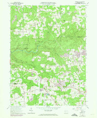
1963 Map of Kossuth
USGS Topo · Published 1973About this map
The borderlands of Venango and Clarion Counties are defined by a complex landscape of extractive industry and small-town settlement. Numerous oil and gas wells dot the ridges above the winding courses of Sandy Creek and East Sandy Creek, illustrating the region's long-standing connection to fossil fuel production. The settlement pattern is largely decentralized, centered around junctions like Kossuth, Pine City, and Nineveh, where local life revolved around rural institutions like Ashland Church and the Ashland School.
Find a feature on this map
50 named features on this map. Tap any name to fly to it.
Don’t see what you’re looking for? This feature index may not catch every label — zoom into the map to look around manually.
Map Details
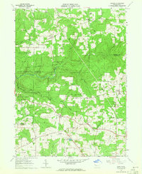
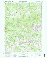
Editions of this 1963 Kossuth Map
3 editions found
Other maps of this area

1906 · Clarion
USGS Topo · 1:62,500

1907 · Clarion
USGS Topo · 1:62,500

1907 · Foxburg
USGS Topo · 1:62,500

1908 · Foxburg
USGS Topo · 1:62,500

1922 · Oil City
USGS Topo · 1:48,000

1922 · Tionesta
USGS Topo · 1:62,500

1924 · Oil City
USGS Topo · 1:62,500

1924 · Tionesta
USGS Topo · 1:62,500

1943 · Oil City
USGS Topo · 1:62,500

1946 · Tionesta
USGS Topo · 1:62,500
Featured Places
- Cranberry Township, PA
- Rockland Township, PA
- Powell Corners, Pinegrove Township
- Ashland Township, PA
- Richland Township, PA