
1950 Map of Kotzebue B-5
USGS Topo · Published 1957About this map
The Devil Mountain Lakes and Killeak Lakes dominate this 1950 coastal landscape, where the geology of the Seward Peninsula is marked by distinctive volcanic features. The presence of Volcano VABM 266 and Crater VABM 191 underscores the unique topography of this region, situated between the Kitluk River and the West Fork Espenberg River. Evidence of seasonal travel and subsistence is visible through the Winter Trail that cuts across the tundra, and a solitary Cabin located on the eastern shore of the northernmost Killeak Lake. This area remains largely defined by its intricate network of small thaw lakes and the winding Kougachuk Creek, illustrating the permafrost-driven drainage patterns of the Northwest Arctic before modern development.
Find a feature on this map
9 named features on this map. Tap any name to fly to it.
Don’t see what you’re looking for? This feature index may not catch every label — zoom into the map to look around manually.
Map Details
Editions of this 1950 Kotzebue B-5 Map
2 editions found
Other maps of this area

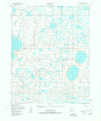
1950 · Kotzebue C-6
USGS Topo · 1:63,360
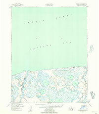
1950 · Kotzebue C-5
USGS Topo · 1:63,360

1950 · Kotzebue A-6
USGS Topo · 1:63,360

1950 · Kotzebue B-4
USGS Topo · 1:63,360
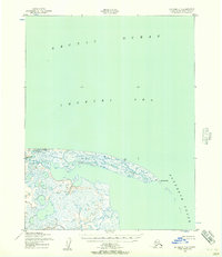
1950 · Kotzebue C-4
USGS Topo · 1:63,360

1950 · Kotzebue A-4
USGS Topo · 1:63,360

1950 · Kotzebue B-6
USGS Topo · 1:63,360

1950 · Kotzebue A-5
USGS Topo · 1:63,360

1951 · Kotzebue
USGS Topo · 1:250,000

1958 · Kotzebue
USGS Topo · 1:250,000