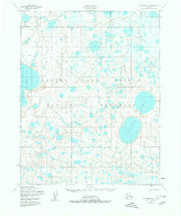
1950 Map of Kotzebue B-5
USGS Topo · Published 1980About this map
Bering Land Bridge National Monument encompasses a landscape defined by volcanic activity and complex water systems in this 1950s-era topography. Centered around the massive Devil Mountain Lakes, the terrain is marked by a prominent Volcano and Crater, signaling the region's geologic history. The hydrology is dominated by the Killeak Lakes and the winding course of the Espenberg River, alongside the Killak River and West Fork. Human presence is sparse in this subarctic environment, noted only by a lone Cabin and the seasonal path of a Winter Trail. In the southeast, Kougachuk Creek drains toward the coast, illustrating the intricate drainage patterns of the Seward Peninsula before the area's formal designation as a national monument.
Find a feature on this map
12 named features on this map. Tap any name to fly to it.
Don’t see what you’re looking for? This feature index may not catch every label — zoom into the map to look around manually.
Map Details
Editions of this 1950 Kotzebue B-5 Map
2 editions found
Other maps of this area

1950 · Kotzebue C-6
USGS Topo · 1:63,360
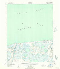
1950 · Kotzebue C-5
USGS Topo · 1:63,360

1950 · Kotzebue A-6
USGS Topo · 1:63,360

1950 · Kotzebue B-4
USGS Topo · 1:63,360

1950 · Kotzebue B-5
USGS Topo · 1:63,360
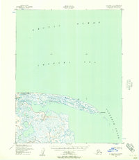
1950 · Kotzebue C-4
USGS Topo · 1:63,360

1950 · Kotzebue A-4
USGS Topo · 1:63,360

1950 · Kotzebue B-6
USGS Topo · 1:63,360

1950 · Kotzebue A-5
USGS Topo · 1:63,360

1951 · Kotzebue
USGS Topo · 1:250,000