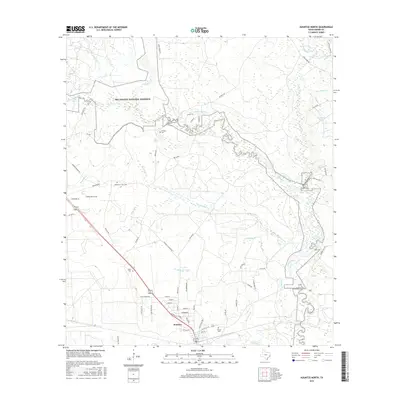
2016 Map of Kountze North
USGS Topo · Published 2016About this map
Kountze serves as the focal point of this Southeast Texas landscape, where the town grid transitions into a dense network of creek drainages and protected woodlands. The northern outskirts of the community are marked by the presence of Olive Cem and Daniels Cem, while the sprawling Big Thicket National Preserve dominates the northern half of the quadrangle. This area is defined by the winding course of Village Creek, which creates a complex hydrological system joined by numerous tributaries including Walker Br, Pea Monk Br, and Beaumont Cr. Historically significant sites like the William W. Hart Cem and McNeely Cem are tucked away near these waterways, offering clear evidence of early family settlements and burial grounds in the vicinity of McNeely Lake. The road network, including FM 420 and Gore Store Rd, suggests a landscape shaped by timber interests and rural residence.
Find a feature on this map
68 named features on this map. Tap any name to fly to it.
Don’t see what you’re looking for? This feature index may not catch every label — zoom into the map to look around manually.
Map Details
Editions of this 2016 Kountze North Map
This is the sole edition of this map. No revisions or reprints were ever made.
Other maps of this area

1954 · Beaumont
USGS Topo · 1:250,000

1955 · Silsbee
USGS Topo · 1:62,500

1955 · Kountze
USGS Topo · 1:62,500

1957 · Beaumont
USGS Topo · 1:250,000

1958 · Warren
USGS Topo · 1:62,500

1958 · Spurger
USGS Topo · 1:62,500

1984 · Beaumont
USGS Topo · 1:250,000
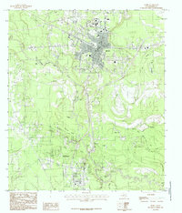
1984 · Silsbee
USGS Topo · 1:24,000
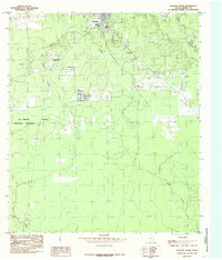
1984 · Kountze South
USGS Topo · 1:24,000
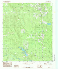
1984 · Warren
USGS Topo · 1:24,000