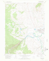
1981 Map of Kremmling
USGS Topo · Published 1981About this map
The town of Kremmling serves as a central hub at the confluence of several major waterways in Grand County, Colorado. In the early 1980s, the community's local infrastructure was anchored by the West Grand High Sch, a local Airport, and the Fairground. The landscape is dominated by the dramatic descent of the Colorado River as it enters Gore Canyon, where the Denver and Rio Grande Western railroad line follows the narrow river corridor through the southwestern portion of the map.
Find a feature on this map
35 named features on this map. Tap any name to fly to it.
Don’t see what you’re looking for? This feature index may not catch every label — zoom into the map to look around manually.
Map Details
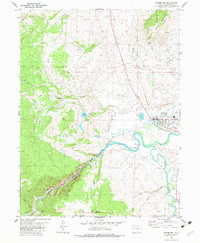
Editions of this 1981 Kremmling Map
2 editions found
Other maps of this area

1933 · Mt. Powell
USGS Topo · 1:48,000

1940 · Mount Powell
USGS Topo · 1:62,500

1954 · Craig
USGS Topo · 1:250,000

1956 · Kremmling
USGS Topo · 1:62,500

1956 · Gore Pass
USGS Topo · 1:62,500

1957 · Craig
USGS Topo · 1:250,000

1957 · Leadville
USGS Topo · 1:250,000

1958 · Craig
USGS Topo · 1:250,000

1959 · Leadville
USGS Topo · 1:250,000

1960 · Leadville
USGS Topo · 1:250,000