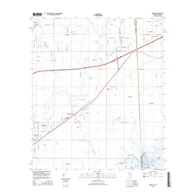
2015 Map of Kreole
USGS Topo · Published 2015About this map
The Escatawpa River defines the landscape of the Mississippi-Alabama borderlands, winding southward toward the Gulf of Mexico through a complex network of coastal bayous. The industrial and residential communities of Kreole and East Moss Point sit at the southwestern edge of the survey, where the terrestrial environment transitions into the marshy reaches of Bayou Cumbest and North Bayou. The interior is marked by small settlements like Orange Grove and Pecan, alongside family landmarks such as the Orange Grove Cem and Kivisto Cem.
Find a feature on this map
123 named features on this map. Tap any name to fly to it.
Don’t see what you’re looking for? This feature index may not catch every label — zoom into the map to look around manually.
Map Details
Editions of this 2015 Kreole Map
This is the sole edition of this map. No revisions or reprints were ever made.
Other maps of this area

1921 · Grand Bay
USGS Topo · 1:62,500

1941 · Hurley
USGS Topo · 1:62,500

1941 · Vancleave
USGS Topo · 1:62,500

1943 · Pascagoula
USGS Topo · 1:62,500

1943 · Grand Bay
USGS Topo · 1:62,500

1943 · Hurley
USGS Topo · 1:62,500

1943 · Vancleave
USGS Topo · 1:62,500

1944 · Vancleave
USGS Topo · 1:62,500

1953 · Mobile
USGS Topo · 1:250,000

1955 · Pascagoula
USGS Topo · 1:62,500