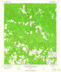
1953 Map of Kushla
USGS Topo · Published 1964About this map
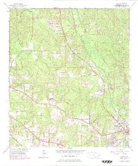
Kushla and Mauvilla anchor this topographic view of northwestern Mobile County, appearing as small railside and crossroads settlements in the early 1950s. The Gulf Mobile and Ohio Railroad runs diagonally through the landscape, serving as a primary corridor through Mauvilla and Kushla towards the Chickasaw Creek basin. Numerous rural congregations dot the terrain, including Mt Pilgrim Ch, Mt Olive Ch, and St Johns Chapel, indicating a dispersed but socially connected community. The drainage patterns are defined by Williams Creek and Silver Creek, which flow through wooded areas increasingly punctuated by the expansion of utilities, such as the prominent Pipe Line corridor and infrastructure like the Indian Springs Dam. Local industry is represented by the Sand Pit near Indian Springs Ch, while residential growth is visible along Lott Road and Moffat Road.
Find a feature on this map
32 named features on this map. Tap any name to fly to it.
Don’t see what you’re looking for? This feature index may not catch every label — zoom into the map to look around manually.
Map Details
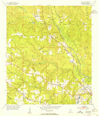
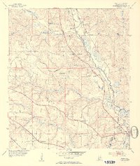
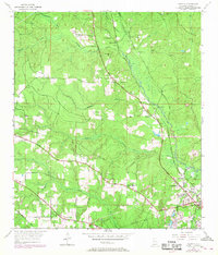
Editions of this 1953 Kushla Map
6 editions found
Other maps of this area

1922 · Mobile
USGS Topo · 1:62,500

1940 · Mobile
USGS Topo · 1:31,680

1940 · Mobile
USGS Topo · 1:62,500

1941 · Chickasaw
USGS Topo · 1:31,680

1941 · Hurley
USGS Topo · 1:62,500

1941 · Creola
USGS Topo · 1:62,500

1942 · Kushla
USGS Topo · 1:31,680

1942 · Wilmer
USGS Topo · 1:62,500

1943 · Creola
USGS Topo · 1:62,500

1943 · Chickasaw
USGS Topo · 1:31,680