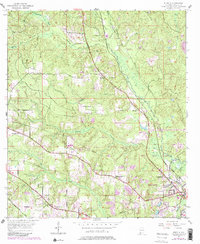
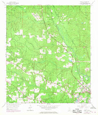
1953 Map of Kushla
USGS Topo · Published 1983About this map
Prichard and the outlying communities of Kushla and Mauvilla define this 1953 landscape in Mobile County, showcasing the transition from suburban expansion to the creek-fed lowlands of Alabama's Gulf Coast. The Illinois Central Gulf Railroad carves a straight path through the center of the sheet, linking small settlements like Oak Grove and Smithtown. This survey captures a network of rural institutions, including Indian Springs Ch and St Johns Chapel, alongside several local burial grounds like Mauvilla Cem. The hydrology is dominated by Chickasaw Creek and Eight Mile Creek, while the presence of a Golf Course and various Sand Pit operations indicates the mixed-use development of the era. Updated with 1981 aerial revisions, the map highlights the shift in the Corporate Boundary of Prichard as it pushed north into former timber and farm tracts.
Find a feature on this map
38 named features on this map. Tap any name to fly to it.
Don’t see what you’re looking for? This feature index may not catch every label — zoom into the map to look around manually.
Map Details
Editions of this 1953 Kushla Map
6 editions found
Other maps of this area

1922 · Mobile
USGS Topo · 1:62,500

1940 · Mobile
USGS Topo · 1:31,680

1940 · Mobile
USGS Topo · 1:62,500

1941 · Chickasaw
USGS Topo · 1:31,680

1941 · Hurley
USGS Topo · 1:62,500

1941 · Creola
USGS Topo · 1:62,500

1942 · Kushla
USGS Topo · 1:31,680

1942 · Wilmer
USGS Topo · 1:62,500

1943 · Creola
USGS Topo · 1:62,500

1943 · Chickasaw
USGS Topo · 1:31,680