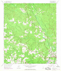
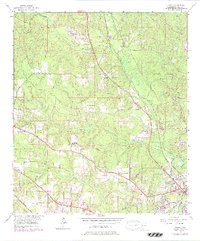
1953 Map of Kushla
USGS Topo · Published 1968About this map
The Gulf Mobile and Ohio railroad corridor anchors this mid-century look at the communities north of Mobile, including the settlements of Mauvilla and Kushla. The landscape is defined by the winding course of Chickasaw Creek and a dense network of smaller waterways like Williams Creek and Silver Creek. This map reflects a period of established rural community life, marked by numerous local landmarks such as Mt Pilgrim Ch, St Johns Chapel, and Indian Springs Ch. Evidence of local industry and infrastructure appears in the Sand Pit near Seabury and the long Pipe Line crossing the terrain. The inclusion of several family and community resting places, such as Smithtown Cem and Mauvilla Cem, provides essential data for those researching local lineage and settlement patterns during this era.
Find a feature on this map
33 named features on this map. Tap any name to fly to it.
Don’t see what you’re looking for? This feature index may not catch every label — zoom into the map to look around manually.
Map Details
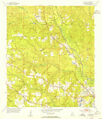
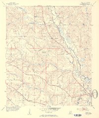
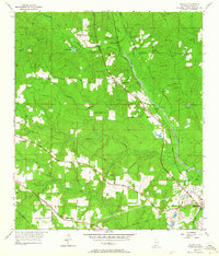
Editions of this 1953 Kushla Map
6 editions found
Other maps of this area

1922 · Mobile
USGS Topo · 1:62,500

1940 · Mobile
USGS Topo · 1:31,680

1940 · Mobile
USGS Topo · 1:62,500

1941 · Chickasaw
USGS Topo · 1:31,680

1941 · Hurley
USGS Topo · 1:62,500

1941 · Creola
USGS Topo · 1:62,500

1942 · Kushla
USGS Topo · 1:31,680

1942 · Wilmer
USGS Topo · 1:62,500

1943 · Creola
USGS Topo · 1:62,500

1943 · Chickasaw
USGS Topo · 1:31,680