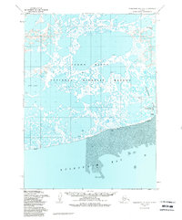
1954 Map of Kuskokwim Bay D-4
USGS Topo · Published 1988About this map
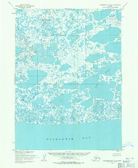
The coastal village of Kwigillingok sits at the edge of the Bering Sea on this mid-century survey, surrounded by the intricate water network of the Yukon Delta National Wildlife Refuge. The map details a landscape where land and water blur, featuring a vast expanse of mud flats along Kuskokwim Bay and a complex system of ponds and lakes, including Kolekfikpuk Lake and Bow Lake. Remote outposts and seasonal camps are indicated by labels like Anogok, Teel, and Snare, while a local Cabin and a Cem reflect the human presence in this challenging environment. Transport in this roadless region is entirely dependent on the water and air, evidenced by the Kwigillingok River, a designated Seaplane Anchorage, and a small Landing Strip near the settlement. The topographic data, derived from 1950s aerial photography, highlights the dynamic nature of the delta's shoreline and its countless unnamed tidal inlets.
Find a feature on this map
15 named features on this map. Tap any name to fly to it.
Don’t see what you’re looking for? This feature index may not catch every label — zoom into the map to look around manually.
Map Details
Editions of this 1954 Kuskokwim Bay D-4 Map
2 editions found
Other maps of this area

1951 · Kuskokwim Bay
USGS Topo · 1:250,000

1951 · Baird Inlet
USGS Topo · 1:250,000
1954 · Baird Inlet A-5
USGS Topo · 1:63,360

1954 · Baird Inlet A-3
USGS Topo · 1:63,360

1954 · Baird Inlet
USGS Topo · 1:250,000

1954 · Kuskokwim Bay
USGS Topo · 1:250,000
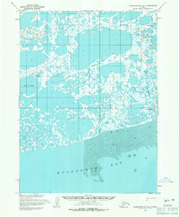
1954 · Kuskokwim Bay D-4
USGS Topo · 1:63,360
1954 · Kuskokwim Bay D-3
USGS Topo · 1:63,360
1954 · Kuskokwim Bay D-5
USGS Topo · 1:63,360
1954 · Baird Inlet A-4
USGS Topo · 1:63,360