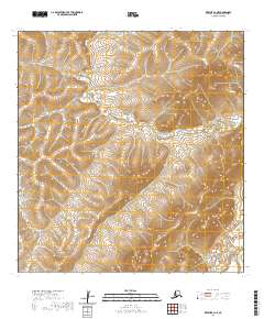
2020 Map of Kwiguk A-3 NE
USGS Topo · Published 2020About this map
Nulato Hills dominate this portion of the Kusilvak Census Area, where the high ground transitions into a complex network of wetlands. The Andreafsky River winds through the southeastern corner of the quadrangle, serving as a primary hydrological artery in an otherwise land-locked stretch of the interior. The landscape is defined by its lack of established roads or permanent settlements, reflecting the remote nature of the Alaskan bush where geographic boundaries like t24n r76w and t25n r74w delineate vast tracts of public land. This 2020 edition incorporates data from the National Hydrography Dataset and National Elevation Dataset to provide a precise record of the river's path and the surrounding elevations.
Find a feature on this map
6 named features on this map. Tap any name to fly to it.
Don’t see what you’re looking for? This feature index may not catch every label — zoom into the map to look around manually.
Map Details
Editions of this 2020 Kwiguk A-3 NE Map
This is the sole edition of this map. No revisions or reprints were ever made.
Other maps of this area

1952 · Kwiguk
USGS Topo · 1:250,000

1952 · Kwiguk B-3
USGS Topo · 1:63,360

1952 · Kwiguk B-2
USGS Topo · 1:63,360

1952 · Kwiguk A-2
USGS Topo · 1:63,360

1952 · Kwiguk A-3
USGS Topo · 1:63,360
2018 · Kwiguk B-2 SW
USGS Topo · 1:25,000
2018 · Kwiguk A-2 NW
USGS Topo · 1:25,000
2018 · Kwiguk A-2 SW
USGS Topo · 1:25,000
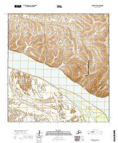
2020 · Kwiguk A-3 SW
USGS Topo · 1:25,000
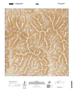
2020 · Kwiguk A-3 NW
USGS Topo · 1:25,000