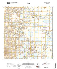
2020 Map of Kwiguk B-5 SE
USGS Topo · Published 2020About this map
Ungulungwak Hill rises as the singular named prominence in this remote expanse of the Kusilvak Census Area, where a dense network of thaw lakes and winding watercourses dominates the landscape. The geography is defined by a complex mosaic of wetlands and unnamed basins, typical of the Yukon-Kuskokwim Delta's interior. This survey by the U.S. Geological Survey reveals a territory almost entirely devoid of human-named infrastructure, focusing instead on the intricate hydrography and the transition between low-lying marshlands and subtle upland features. The presence of Ungulungwak Hill provides a critical geographic anchor for navigating this water-dominated terrain, which remains largely shaped by seasonal natural cycles rather than permanent settlement.
Find a feature on this map
7 named features on this map. Tap any name to fly to it.
Don’t see what you’re looking for? This feature index may not catch every label — zoom into the map to look around manually.
Map Details
Editions of this 2020 Kwiguk B-5 SE Map
This is the sole edition of this map. No revisions or reprints were ever made.
Other maps of this area

1952 · Kwiguk
USGS Topo · 1:250,000

1952 · Kwiguk A-5
USGS Topo · 1:63,360

1952 · Kwiguk B-5
USGS Topo · 1:63,360

1952 · Kwiguk A-4
USGS Topo · 1:63,360

1952 · Kwiguk B-4
USGS Topo · 1:63,360
2020 · Kwiguk A-4 NW
USGS Topo · 1:25,000
2020 · Kwiguk B-4 SW
USGS Topo · 1:25,000
2020 · Kwiguk B-4 NW
USGS Topo · 1:25,000
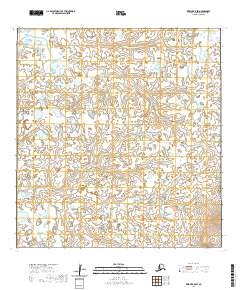
2020 · Kwiguk B-5 SW
USGS Topo · 1:25,000
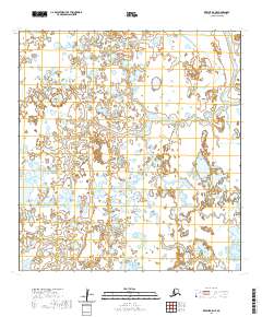
2020 · Kwiguk B-5 NE
USGS Topo · 1:25,000