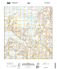
2020 Map of Kwiguk C-3 NW
USGS Topo · Published 2020About this map
Nanvaranak Lake dominates the central portion of this landscape within the Kusilvak Census Area, surrounded by a complex network of wetlands and tundra ponds typical of the Yukon-Kuskokwim Delta. The Pastolik River winds through the eastern edge of the quadrangle, carving a serpentine path through the low-lying terrain. This 2020 U.S. Geological Survey map captures the delicate hydrology of the region as it existed during the early 21st century, showing the intricate relationship between the major water bodies and the countless smaller nameless ponds that define the environment. The area is marked by its isolation and lack of developed infrastructure, focusing instead on the natural drainages and public land survey boundaries like t30n r75w and t31n r76w that organize this remote stretch of Alaska.
Find a feature on this map
8 named features on this map. Tap any name to fly to it.
Don’t see what you’re looking for? This feature index may not catch every label — zoom into the map to look around manually.
Map Details
Editions of this 2020 Kwiguk C-3 NW Map
This is the sole edition of this map. No revisions or reprints were ever made.
Other maps of this area

1952 · Kwiguk
USGS Topo · 1:250,000

1952 · Kwiguk D-3
USGS Topo · 1:63,360

1952 · Kwiguk C-3
USGS Topo · 1:63,360

1952 · Kwiguk C-4
USGS Topo · 1:63,360

1952 · Kwiguk D-4
USGS Topo · 1:63,360
2020 · Kwiguk C-4 NE
USGS Topo · 1:25,000
2020 · Kwiguk C-4 SE
USGS Topo · 1:25,000
2020 · Kwiguk C-3 SW
USGS Topo · 1:25,000
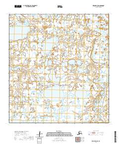
2020 · Kwiguk D-3 SW
USGS Topo · 1:25,000
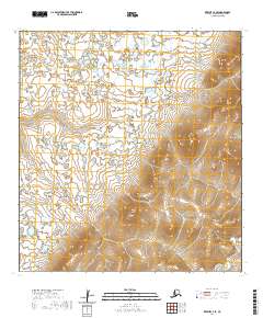
2020 · Kwiguk C-3 SE
USGS Topo · 1:25,000