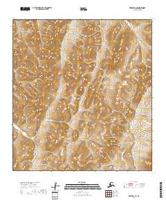
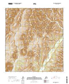
2018 Map of Kwiguk D-1 SE
USGS Topo · Published 2018About this map
Nulato Hills dominate the western edge of this terrain in the Kusilvak Census Area, where the landscape is defined by extensive upland drainage and marshy lowlands. This survey of the lower Yukon River region reveals a complex network of wetlands and seasonal watercourses, with the terrain transitioning from the prominent ridges of the hills into lower alluvial plains. While devoid of permanent named settlements or structures, the map captures the remote character of the Alaskan interior, showing the intricate contour intervals of the highlands and the vast, unnamed stream systems that feed the surrounding river basins. The lack of roads or infrastructure underscores the isolation of this part of the Alaska wilderness, emphasizing the natural topography and the surveyed township boundaries of T32N R69W and T31N R68W.
Find a feature on this map
5 named features on this map. Tap any name to fly to it.
Don’t see what you’re looking for? This feature index may not catch every label — zoom into the map to look around manually.
Map Details
Editions of this 2018 Kwiguk D-1 SE Map
This is the sole edition of this map. No revisions or reprints were ever made.
Other maps of this area

1951 · Holy Cross
USGS Topo · 1:250,000

1952 · Kwiguk
USGS Topo · 1:250,000

1952 · Kwiguk D-1
USGS Topo · 1:63,360

1952 · Holy Cross C-6
USGS Topo · 1:63,360

1952 · Kwiguk C-1
USGS Topo · 1:63,360
1952 · Holy Cross D-6
USGS Topo · 1:63,360

1952 · Holy Cross
USGS Topo · 1:250,000
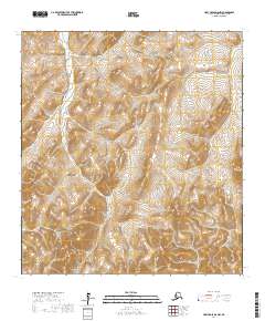
2017 · Holy Cross D-6 NW
USGS Topo · 1:25,000
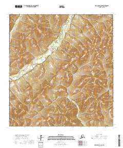
2017 · Holy Cross C-6 NW
USGS Topo · 1:25,000
2017 · Holy Cross D-6 SW
USGS Topo · 1:25,000