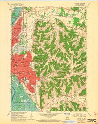
1963 Map of La Crosse
USGS Topo · Published 1964About this map
La Crosse and its immediate surroundings are defined by the convergence of the La Crosse River and the Mississippi River, creating a complex network of islands and sloughs such as Running Slough and Green Slough. To the east, the landscape rises sharply into the bluffs and coulees of the driftless area, featuring Granddad Bluff and Miller Bluff. This survey illustrates the mid-century footprint of institutional and educational development in the city, showing Wisconsin State College, Viterbo College, and the Holy Cross Seminary.
Find a feature on this map
83 named features on this map. Tap any name to fly to it.
Don’t see what you’re looking for? This feature index may not catch every label — zoom into the map to look around manually.
Map Details
Editions of this 1963 La Crosse Map
2 editions found
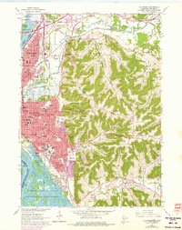
Other maps of this area

1926 · Stoddard
USGS Topo · 1:62,500

1927 · La Crosse
USGS Topo · 1:62,500

1930 · La Crescent
USGS Topo · 1:62,500

1930 · La Crosse
USGS Topo · 1:62,500

1956 · Brownsville
USGS Topo · 1:62,500

1956 · La Crescent
USGS Topo · 1:62,500

1958 · La Crosse
USGS Topo · 1:250,000

1961 · La Crosse
USGS Topo · 1:250,000
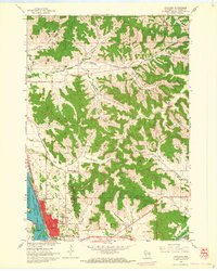
1963 · Onalaska
USGS Topo · 1:24,000
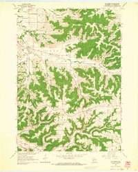
1963 · St. Joseph
USGS Topo · 1:24,000