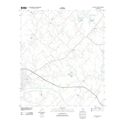
2010 Map of La Grange East
USGS Topo · Published 2010About this map
The Colorado River defines the southern reach of this landscape east of La Grange, where the terrain transitions from river bottomlands to the uplands of Fayette County. Rural settlements like Rutersville and Oldenburg anchor a network of local roads including Mueller Rd and FM 2981. This area is characterized by a high density of water management features, including multiple dams and reservoirs such as Soil Conservation Service Site 21 Reservoir and Farmers Industries Lake.
Find a feature on this map
69 named features on this map. Tap any name to fly to it.
Don’t see what you’re looking for? This feature index may not catch every label — zoom into the map to look around manually.
Map Details
Editions of this 2010 La Grange East Map
This is the sole edition of this map. No revisions or reprints were ever made.
Other maps of this area

1919 · Fayettsville
USGS Topo · 1:62,500

1919 · Giddings
USGS Topo · 1:62,500

1953 · Seguin
USGS Topo · 1:250,000

1954 · Austin
USGS Topo · 1:250,000

1956 · La Grange
USGS Topo · 1:62,500

1957 · Ellinger
USGS Topo · 1:24,000

1957 · La Grange East
USGS Topo · 1:24,000

1957 · Ammannsville
USGS Topo · 1:24,000

1958 · La Grange West
USGS Topo · 1:24,000

1958 · Seguin
USGS Topo · 1:250,000