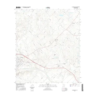
2016 Map of La Grange East
USGS Topo · Published 2016About this map
The Colorado River winds through the southern landscape of this Fayette County survey, passing just below the county seat of La Grange. To the south, Monument Hill overlooks the river valley, a site of significant local importance. The eastern half of the map is dominated by the large expanse of Lake Fayette, while smaller water bodies like Farmers Industries Lake and the Soil Conservation Service Site 21 Reservoir dot the rolling terrain.
Find a feature on this map
104 named features on this map. Tap any name to fly to it.
Don’t see what you’re looking for? This feature index may not catch every label — zoom into the map to look around manually.
Map Details
Editions of this 2016 La Grange East Map
This is the sole edition of this map. No revisions or reprints were ever made.
Other maps of this area

1919 · Fayettsville
USGS Topo · 1:62,500

1919 · Giddings
USGS Topo · 1:62,500

1953 · Seguin
USGS Topo · 1:250,000

1954 · Austin
USGS Topo · 1:250,000

1956 · La Grange
USGS Topo · 1:62,500

1957 · Ellinger
USGS Topo · 1:24,000

1957 · La Grange East
USGS Topo · 1:24,000

1957 · Ammannsville
USGS Topo · 1:24,000

1958 · La Grange West
USGS Topo · 1:24,000

1958 · Seguin
USGS Topo · 1:250,000