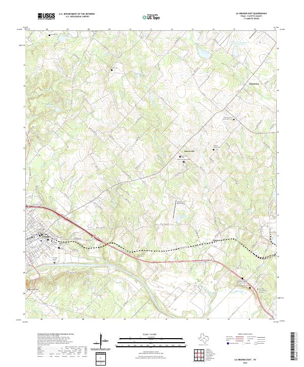
2022 Map of La Grange East
USGS Topo · Published 2022About this map
The Colorado River defines the southern reach of this landscape, winding past the notable heights of Monument Hill and through a region marked by deep genealogical layers. Near the bend in the river, the settlement of La Grange serves as a focal point for the county, surrounded by a high concentration of burial grounds that reveal the diverse social history of the area. This includes the La Grange Jewish Cem, the Old La Grange Cem African American, and the Fayette County Paupers Cem. Further north and east, the map transitions into rolling upland terrain drained by Cedar Cr and Rocky Cr, where smaller communities like Rutersville and Halsted are situated. The presence of the Rutersville College Cem points to the educational heritage of the region, while the Rocky Creek Ranch Airport highlights more modern land use amidst the traditional farm-to-market road network.
Find a feature on this map
127 named features on this map. Tap any name to fly to it.
Don’t see what you’re looking for? This feature index may not catch every label — zoom into the map to look around manually.
Map Details
Editions of this 2022 La Grange East Map
This is the sole edition of this map. No revisions or reprints were ever made.
Other maps of this area

1919 · Fayettsville
USGS Topo · 1:62,500

1919 · Giddings
USGS Topo · 1:62,500

1953 · Seguin
USGS Topo · 1:250,000

1954 · Austin
USGS Topo · 1:250,000

1956 · La Grange
USGS Topo · 1:62,500

1957 · Ellinger
USGS Topo · 1:24,000

1957 · La Grange East
USGS Topo · 1:24,000

1957 · Ammannsville
USGS Topo · 1:24,000

1958 · La Grange West
USGS Topo · 1:24,000

1958 · Seguin
USGS Topo · 1:250,000