Loading...
Loading map...1969 Map of La Grange
USGS Topo · Published 1972About this map
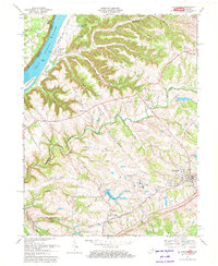
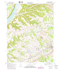
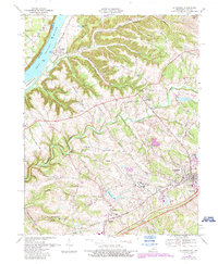
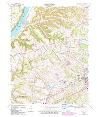
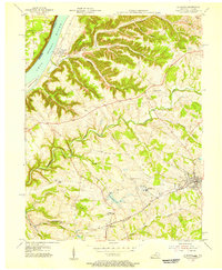
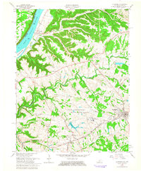
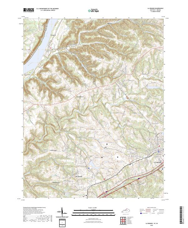
La Grange anchors the southeastern corner of this 1969 topographic study, where the Louisville and Nashville railroad runs alongside the Nashville Road. The landscape transitions from the developed town centers and the sprawling State Reformatory complex near Reformatory Lake toward the rural bluffs of the Ohio River. Significant local features include Eighteenmile Ch and the riverside settlement of Westport, which serves as a historical gateway to the water with its Boat Ramp across from Eighteenmile Island.
Find a feature on this map
56 named features on this map. Tap any name to fly to it.
Don’t see what you’re looking for? This feature index may not catch every label — zoom into the map to look around manually.
Map Details
Date Portrayed1969
Date Published1972
PublisherU.S. Geological Survey
Map TypeTopographic
Scale1:24,000
Physical Dimensions22.5 x 27.4 inches
Editions of this 1969 La Grange Map
4 editions found
Historical Maps of La Grange Through Time
9 maps found

Featured Locations
Source Details
SourceU.S. Geological Survey
CopyrightPublic Domain