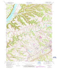
1969 Map of La Grange
USGS Topo · Published 1987About this map
The Ohio River flows past the riverfront settlement of Westport and Eighteenmile Island on this 1969 survey, which captures the area just before significant late-century suburbanization. The landscape is dominated by the massive footprint of the State Reformatory and the neighboring community of La Grange, which serves as the county's primary hub. Local transit is defined by the CSX rail line and the expanding roadway network, including Old Newport Road and Dawkins Road.
Find a feature on this map
56 named features on this map. Tap any name to fly to it.
Don’t see what you’re looking for? This feature index may not catch every label — zoom into the map to look around manually.
Map Details
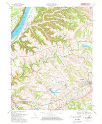
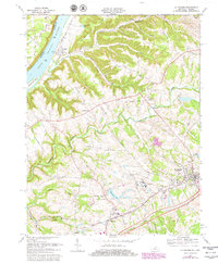
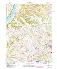
Editions of this 1969 La Grange Map
4 editions found
Other maps of this area

1905 · Prospect
USGS Topo · 1:62,500

1912 · Prospect
USGS Topo · 1:62,500

1932 · La Grange
USGS Topo · 1:62,500

1938 · Owen
USGS Topo · 1:24,000

1939 · Bethlehem
USGS Topo · 1:24,000

1948 · Bethlehem
USGS Topo · 1:24,000

1948 · Owen
USGS Topo · 1:24,000

1951 · Anchorage
USGS Topo · 1:24,000

1951 · Crestwood
USGS Topo · 1:24,000

1953 · Bedford
USGS Topo · 1:24,000