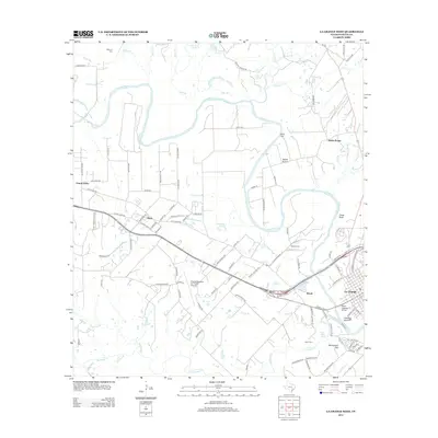
2013 Map of La Grange West
USGS Topo · Published 2013About this map
The Colorado River carves a winding path through the heart of this Fayette County landscape, defining the geographic character of the region. On its eastern banks, the town of La Grange serves as a focal point, while the smaller settlements of Plum, Prairie Valley, and Wendt are connected by a network of rural routes such as Old Plum Hwy and E State Loop 220. The terrain is marked by distinctive elevations and landings, including the prominent Chalk Bluff and Monument Hill, as well as the floodplain area of Rabbs Prairie.
Find a feature on this map
107 named features on this map. Tap any name to fly to it.
Don’t see what you’re looking for? This feature index may not catch every label — zoom into the map to look around manually.
Map Details
Editions of this 2013 La Grange West Map
This is the sole edition of this map. No revisions or reprints were ever made.
Other maps of this area

1885 · Bastrop
USGS Topo · 1:125,000

1893 · Bastrop
USGS Topo · 1:125,000

1901 · Flatonia
USGS Topo · 1:125,000

1904 · Bastrop
USGS Topo · 1:125,000

1919 · Giddings
USGS Topo · 1:62,500

1948 · Smithville
USGS Topo · 1:62,500

1950 · Smithville
USGS Topo · 1:62,500

1953 · Seguin
USGS Topo · 1:250,000

1954 · Austin
USGS Topo · 1:250,000

1956 · La Grange
USGS Topo · 1:62,500