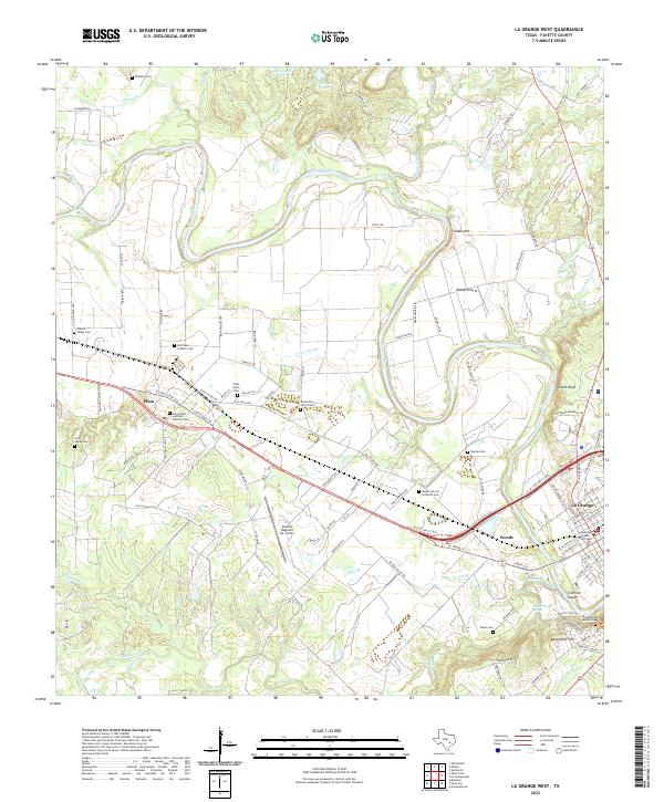
2022 Map of La Grange West
USGS Topo · Published 2022About this map
The Colorado River winds through this central Texas landscape, shaping the development of Fayette County as seen in this modern-era study. On the western bank, the settlement of Plum serves as a local hub, anchored by its proximity to the Saint Peter and Paul Catholic Cem and Plum Grove Cem. The map reveals a high concentration of historic burial grounds and religious sites, such as Mount Zion Church Cem and Mount Calvary Lutheran Cem, which often represent the only remaining physical landmarks of early rural congregations.
Find a feature on this map
114 named features on this map. Tap any name to fly to it.
Don’t see what you’re looking for? This feature index may not catch every label — zoom into the map to look around manually.
Map Details
Editions of this 2022 La Grange West Map
This is the sole edition of this map. No revisions or reprints were ever made.
Other maps of this area

1885 · Bastrop
USGS Topo · 1:125,000

1893 · Bastrop
USGS Topo · 1:125,000

1901 · Flatonia
USGS Topo · 1:125,000

1904 · Bastrop
USGS Topo · 1:125,000

1919 · Giddings
USGS Topo · 1:62,500

1948 · Smithville
USGS Topo · 1:62,500

1950 · Smithville
USGS Topo · 1:62,500

1953 · Seguin
USGS Topo · 1:250,000

1954 · Austin
USGS Topo · 1:250,000

1956 · La Grange
USGS Topo · 1:62,500