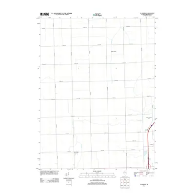
2012 Map of La Hogue
USGS Topo · Published 2012About this map
La Hogue sits at the heart of this Iroquois County landscape, defined by a rigid grid of agricultural roads that intersect at precise intervals across the flat Illinois prairie. The settlement represents a classic rural crossroads, surrounded by expansive farmland where natural watercourses like Prairie Cr and Langan Cr meander independently of the surveyed section lines. Aviation plays a notable role in this local economy, evidenced by the presence of Wilken Airport and the Kuiper Landing Strip. The roadway network, including E 1800 N RD and N 400 E RD, facilitates the movement of goods and equipment between the fields and the central grain-handling facilities typical of this region.
Find a feature on this map
24 named features on this map. Tap any name to fly to it.
Don’t see what you’re looking for? This feature index may not catch every label — zoom into the map to look around manually.
Map Details
Editions of this 2012 La Hogue Map
This is the sole edition of this map. No revisions or reprints were ever made.
Other maps of this area

1939 · Cissna Park
USGS Topo · 1:62,500

1944 · Piper City
USGS Topo · 1:48,000

1944 · Gilman
USGS Topo · 1:62,500

1946 · Gilman
USGS Topo · 1:62,500

1947 · Piper City
USGS Topo · 1:62,500

1948 · Buckley
USGS Topo · 1:62,500

1949 · Cissna Park
USGS Topo · 1:62,500

1949 · Buckley
USGS Topo · 1:62,500

1953 · Danville
USGS Topo · 1:250,000

1955 · Danville
USGS Topo · 1:250,000