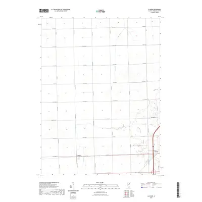
2021 Map of La Hogue
USGS Topo · Published 2021About this map
La Hogue and the western edge of Gilman define this portion of the Iroquois County plains. The landscape is structured by a rigorous grid of section lines and county roads, reflecting the systematic agricultural development of the Illinois prairie. Waterways like Prairie Cr and Langan Cr wind through the rectilinear farm plots, providing the primary natural relief in an otherwise strictly organized terrain. The eastern edge of the map shows the modern expansion of Gilman, where W 2nd St and Gateway Dr intersect with major transportation corridors. This map documents a region where the traditional rural township structure remains the dominant physical framework, even as larger municipalities begin to exert influence on the eastern fringe.
Find a feature on this map
28 named features on this map. Tap any name to fly to it.
Don’t see what you’re looking for? This feature index may not catch every label — zoom into the map to look around manually.
Map Details
Editions of this 2021 La Hogue Map
This is the sole edition of this map. No revisions or reprints were ever made.
Other maps of this area

1939 · Cissna Park
USGS Topo · 1:62,500

1944 · Piper City
USGS Topo · 1:48,000

1944 · Gilman
USGS Topo · 1:62,500

1946 · Gilman
USGS Topo · 1:62,500

1947 · Piper City
USGS Topo · 1:62,500

1948 · Buckley
USGS Topo · 1:62,500

1949 · Cissna Park
USGS Topo · 1:62,500

1949 · Buckley
USGS Topo · 1:62,500

1953 · Danville
USGS Topo · 1:250,000

1955 · Danville
USGS Topo · 1:250,000