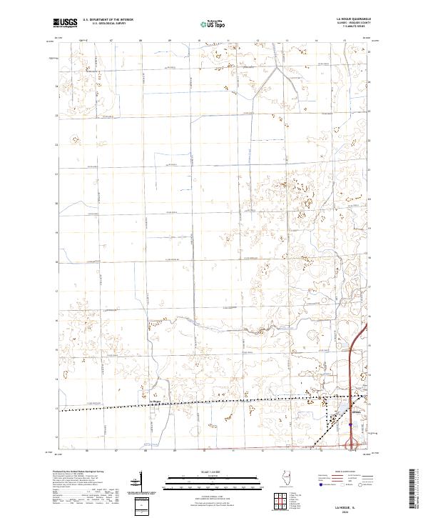
2024 Map of La Hogue
USGS Topo · Published 2024About this map
La Hogue sits at the heart of this Iroquois County landscape, defined by the grid-work of rural roads and the natural drainage of the Illinois prairie. The settlement of Gilman anchors the southeastern corner, where the transition from agricultural fields to town streets is visible. Waterways like Langan Creek and Prairie Creek meander through the township sections, providing a contrast to the geometric precision of the county road system. This modern topographic study shows how contemporary infrastructure, such as Gateway Dr and Co Hwy 24, continues to follow the historic township lines established over a century ago. The area remains a characteristic example of the central Illinois grain belt, where small agricultural hubs like La Hogue serve the surrounding farming community.
Find a feature on this map
27 named features on this map. Tap any name to fly to it.
Don’t see what you’re looking for? This feature index may not catch every label — zoom into the map to look around manually.
Map Details
Editions of this 2024 La Hogue Map
This is the sole edition of this map. No revisions or reprints were ever made.
Other maps of this area

1939 · Cissna Park
USGS Topo · 1:62,500

1944 · Piper City
USGS Topo · 1:48,000

1944 · Gilman
USGS Topo · 1:62,500

1946 · Gilman
USGS Topo · 1:62,500

1947 · Piper City
USGS Topo · 1:62,500

1948 · Buckley
USGS Topo · 1:62,500

1949 · Cissna Park
USGS Topo · 1:62,500

1949 · Buckley
USGS Topo · 1:62,500

1953 · Danville
USGS Topo · 1:250,000

1955 · Danville
USGS Topo · 1:250,000