
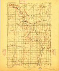
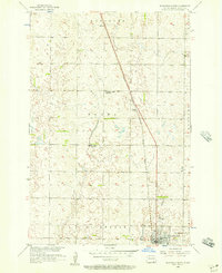
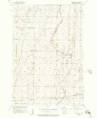
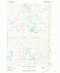
1918 Map of La Moure
USGS Topo · Published 1918This historical map portrays the area of La Moure in 1918, primarily covering Dickey County as well as portions of Ransom County, LaMoure, and Sargent County. Featuring a scale of 1:125000, this map provides a highly detailed snapshot of the terrain, roads, buildings, counties, and historical landmarks in the La Moure region at the time. Published in 1918, it is one of 2 known editions of this map due to revisions or reprints.
Find a feature on this map
58 named features on this map. Tap any name to fly to it.
Don’t see what you’re looking for? This feature index may not catch every label — zoom into the map to look around manually.
Map Details
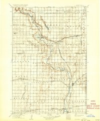
Editions of this 1918 La Moure Map
2 editions found
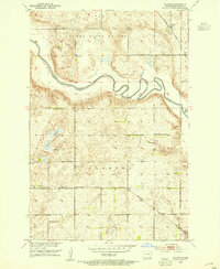
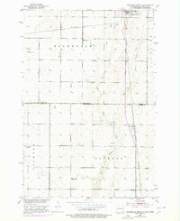
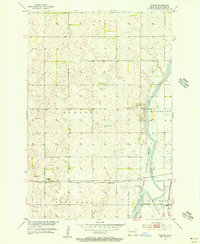
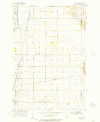
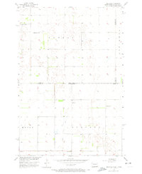
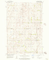
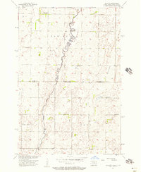
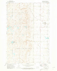
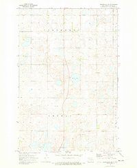
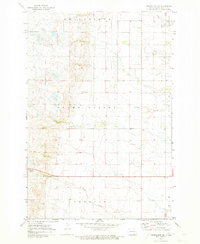
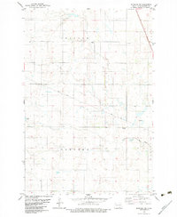
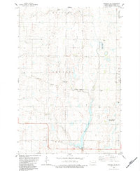
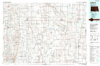
Historical Maps of Riverdale Township Through Time
21 maps found

1894 Savo
Dickey County, ND
1895 Lamoure
Dickey County, ND
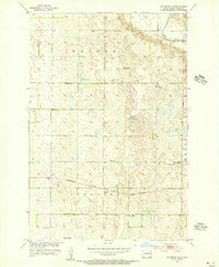
1918 La Moure
Dickey County, ND
1952 Glover
Dickey County, ND
1953 Ellendale South
Dickey County, ND
1955 Fullerton NE
Dickey County, ND
1955 Fullerton SE
Dickey County, ND
1955 Guelph
Dickey County, ND
1955 Oakes SE
Dickey County, ND
1956 Ellendale North
Dickey County, ND
1956 Hecla NE
Dickey County, ND
1956 Savo NE
Dickey County, ND
1956 Savo NW
Dickey County, ND
1956 Silverleaf
Dickey County, ND
1971 Merricourt
Dickey County, ND
1971 Merricourt NW
Dickey County, ND
1971 Merricourt SE
Dickey County, ND
1971 Merricourt SW
Dickey County, ND
1982 Monango NW
Dickey County, ND
1982 Monango SW
Dickey County, ND
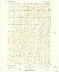
1986 La Moure
Dickey County, ND