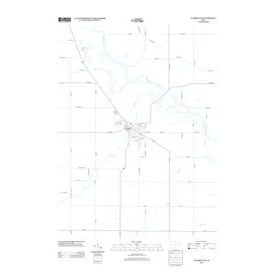
2013 Map of La Porte City
USGS Topo · Published 2013About this map
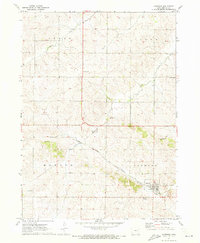
La Porte City serves as the central hub of this Black Hawk County landscape, where the waters of Wolf Cr and the Cedar River converge. The town's grid is well-defined, showing established residential streets like Tama St and 8th St south of where the river bends. This 2013 survey illustrates a modern rural infrastructure defined by long-standing transit corridors and agricultural boundaries. North of the city, the small settlement of Enterprise sits near the intersection of Ashley Rd and S Canfield Rd. The surrounding territory is characterized by a dense network of named watercourses, including Mud Cr and Rock Cr, which feed the larger river system. Local transit history is preserved in road names such as Barnes Ferry Rd, suggesting earlier river crossing points that shaped the movement of goods and people in this part of Iowa.
Find a feature on this map
65 named features on this map. Tap any name to fly to it.
Don’t see what you’re looking for? This feature index may not catch every label — zoom into the map to look around manually.
Map Details
Editions of this 2013 La Porte City Map
This is the sole edition of this map. No revisions or reprints were ever made.
Other maps of this area

1954 · Waterloo
USGS Topo · 1:250,000

1955 · Waterloo
USGS Topo · 1:250,000

1963 · Waterloo South
USGS Topo · 1:24,000

1963 · Eagle Center
USGS Topo · 1:24,000

1971 · Gilbertville
USGS Topo · 1:24,000
1971 · Dysart
USGS Topo · 1:24,000

1971 · La Porte City
USGS Topo · 1:24,000
1971 · Vinton
USGS Topo · 1:24,000
1971 · Brandon
USGS Topo · 1:24,000
1971 · Garrison
USGS Topo · 1:24,000