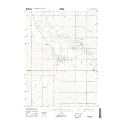
2015 Map of La Porte City
USGS Topo · Published 2015About this map
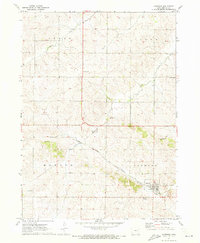
La Porte City occupies the heart of this landscape, situated at the confluence where Wolf Creek joins the Cedar River. The settlement pattern follows a grid centered on W Main St and Commercial St, transitioning into a rural environment defined by sectional agricultural plots. Several family and community burial grounds are scattered throughout the region, including Westview Cem on the edge of town and the more isolated Engledow Cem to the south.
Find a feature on this map
74 named features on this map. Tap any name to fly to it.
Don’t see what you’re looking for? This feature index may not catch every label — zoom into the map to look around manually.
Map Details
Editions of this 2015 La Porte City Map
This is the sole edition of this map. No revisions or reprints were ever made.
Other maps of this area

1954 · Waterloo
USGS Topo · 1:250,000

1955 · Waterloo
USGS Topo · 1:250,000

1963 · Waterloo South
USGS Topo · 1:24,000

1963 · Eagle Center
USGS Topo · 1:24,000

1971 · Gilbertville
USGS Topo · 1:24,000
1971 · Dysart
USGS Topo · 1:24,000

1971 · La Porte City
USGS Topo · 1:24,000
1971 · Vinton
USGS Topo · 1:24,000
1971 · Brandon
USGS Topo · 1:24,000
1971 · Garrison
USGS Topo · 1:24,000