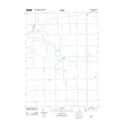
2012 Map of La Rose
USGS Topo · Published 2012About this map
La Rose and Pattonsburg anchor this rural Marshall County landscape, where the pattern of Illinois prairie life is etched into a grid of county roads. The area is defined by a series of north-south and east-west drainages, including the N Br Crow Cr and S Br Crow Cr which converge toward the west, alongside Hallenback Cr and Snag Cr. These waterways dictate the subtle variations in terrain within the larger agricultural framework.
Find a feature on this map
53 named features on this map. Tap any name to fly to it.
Don’t see what you’re looking for? This feature index may not catch every label — zoom into the map to look around manually.
Map Details
Editions of this 2012 La Rose Map
This is the sole edition of this map. No revisions or reprints were ever made.
Other maps of this area

1893 · Lacon
USGS Topo · 1:62,500

1893 · Metamora
USGS Topo · 1:62,500

1933 · Lacon
USGS Topo · 1:62,500

1934 · Wenona
USGS Topo · 1:48,000

1937 · Metamora
USGS Topo · 1:62,500

1937 · Lacon
USGS Topo · 1:62,500

1939 · Wenona
USGS Topo · 1:62,500

1948 · Metamora
USGS Topo · 1:62,500

1955 · Minonk
USGS Topo · 1:62,500

1958 · Aurora
USGS Topo · 1:250,000