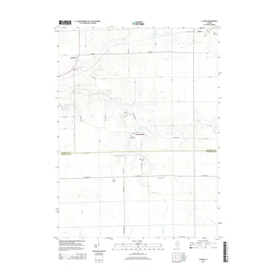
2015 Map of La Rose
USGS Topo · Published 2015About this map
Pattonsburg and La Rose serve as central points in this central Illinois landscape, where the flat upland prairie is deeply incised by the drainage systems of South Branch Crow Creek and Hallenback Cr. For the family historian, this map is exceptionally detailed regarding rural interments, showing numerous small burial grounds including Hawks Farm Cem, Martin Cem, and Davison Cem. The boundary between Marshall Co and Woodford Co runs through the southern half of the quadrangle, illustrating how these administrative lines intersect with the grid of country roads like Co Road 1800 E and Co Road 2300 N. The northeastern corner includes a portion of Toluca, marked by Saint Anns Cem and Saint Johns Cem, reflecting the area's established community roots and the transition from open farmland to small-town settlement patterns.
Find a feature on this map
42 named features on this map. Tap any name to fly to it.
Don’t see what you’re looking for? This feature index may not catch every label — zoom into the map to look around manually.
Map Details
Editions of this 2015 La Rose Map
This is the sole edition of this map. No revisions or reprints were ever made.
Other maps of this area

1893 · Lacon
USGS Topo · 1:62,500

1893 · Metamora
USGS Topo · 1:62,500

1933 · Lacon
USGS Topo · 1:62,500

1934 · Wenona
USGS Topo · 1:48,000

1937 · Metamora
USGS Topo · 1:62,500

1937 · Lacon
USGS Topo · 1:62,500

1939 · Wenona
USGS Topo · 1:62,500

1948 · Metamora
USGS Topo · 1:62,500

1955 · Minonk
USGS Topo · 1:62,500

1958 · Aurora
USGS Topo · 1:250,000