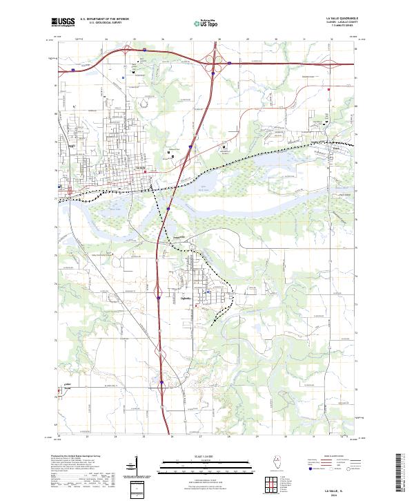
2024 Map of La Salle
USGS Topo · Published 2024About this map
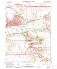
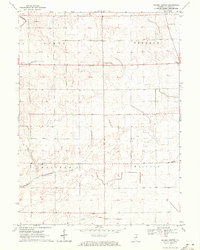
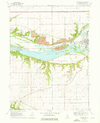
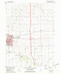
The Illinois River corridor dominates this landscape, where the neighboring industrial centers of Peru and La Salle meet. The confluence of the Little Vermilion River and the main waterway shaped the early growth of these river towns, while the Vermilion River carves through the southern territory near Oglesby and Jonesville. Genealogists will find several burial grounds across the area, from Saint Hyacinth Cem and Saint Vincent Cem in the north to Oakwood Cem and Rockwell Cem further south. The topography is marked by significant features like Saint Louis Canyon and the prominent Plum Island situated mid-stream. Educational and recreational landmarks are visible throughout, including the campus of Illinois Valley Community College and the curated grounds of Forest Lawn Memory Gardens, illustrating the modern layout of these historic river valley communities.
Find a feature on this map
82 named features on this map. Tap any name to fly to it.
Don’t see what you’re looking for? This feature index may not catch every label — zoom into the map to look around manually.
Map Details
Editions of this 2024 La Salle Map
This is the sole edition of this map. No revisions or reprints were ever made.
Historical Maps of Utica Through Time
16 maps found
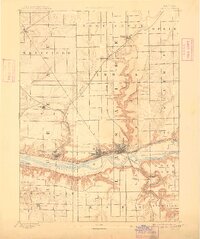
1893 Lasalle
LaSalle County, IL

1911 La Salle
LaSalle County, IL
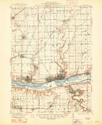
1913 La Salle
LaSalle County, IL
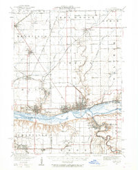
1947 La Salle
LaSalle County, IL
1966 La Salle
LaSalle County, IL
1970 Prairie Center
LaSalle County, IL
1970 Starved Rock
LaSalle County, IL
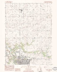
1982 Mendota East
LaSalle County, IL
1983 Streator North
LaSalle County, IL
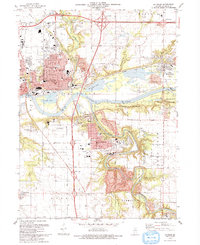
1993 La Salle
LaSalle County, IL
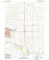
1993 Mendota East
LaSalle County, IL
2024 La Salle
LaSalle County, IL
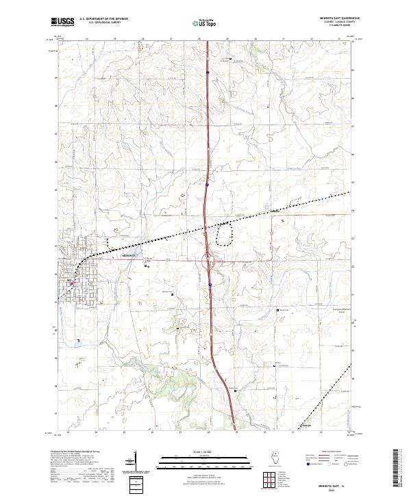
2024 Mendota East
LaSalle County, IL
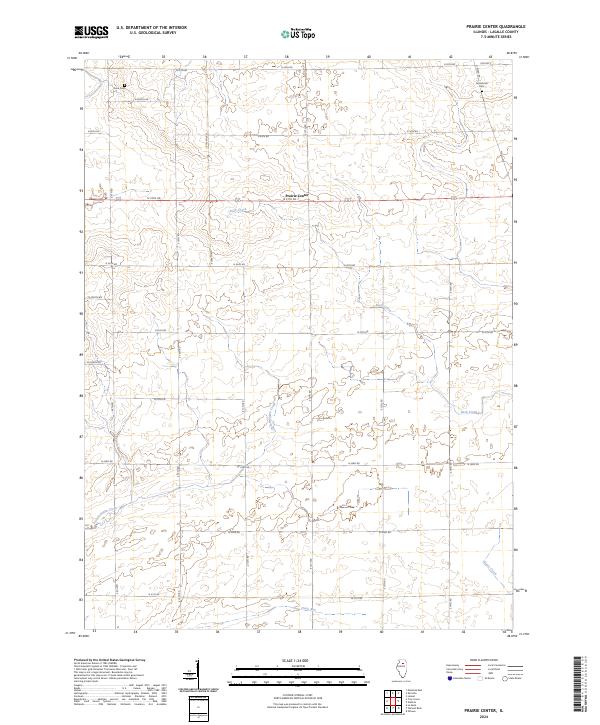
2024 Prairie Center
LaSalle County, IL
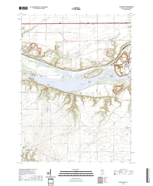
2024 Starved Rock
LaSalle County, IL
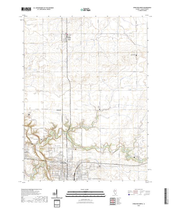
2024 Streator North
LaSalle County, IL