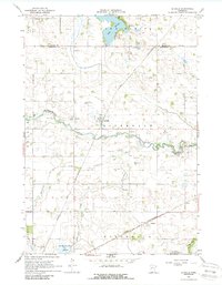
1967 Map of La Salle
USGS Topo · Published 1988About this map
La Salle stands as a central settlement in this late-1960s landscape, positioned near the intersection of local township lines and the Chicago and North Western railroad. This transportation corridor dictates the placement of grain and agricultural infrastructure, connecting the village to the smaller station at Grogan to the south. The terrain is defined by the winding course of the Watonwan River, which is fed by Saint James Creek and Butterfield Creek.
Find a feature on this map
21 named features on this map. Tap any name to fly to it.
Don’t see what you’re looking for? This feature index may not catch every label — zoom into the map to look around manually.
Map Details
Editions of this 1967 La Salle Map
2 editions found
Other maps of this area

1953 · New Ulm
USGS Topo · 1:250,000

1954 · Fairmont
USGS Topo · 1:250,000

1957 · New Ulm
USGS Topo · 1:250,000

1958 · New Ulm
USGS Topo · 1:250,000

1958 · Fairmont
USGS Topo · 1:250,000

1965 · Madelia
USGS Topo · 1:24,000

1965 · Hanska
USGS Topo · 1:24,000

1967 · New Ulm
USGS Topo · 1:250,000

1967 · Lake Hanska West
USGS Topo · 1:24,000

1967 · Lewisville
USGS Topo · 1:24,000