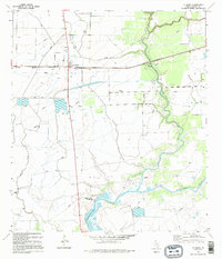
1995 Map of La Ward
USGS Topo · Published 1995About this map
La Ward stands at the heart of this coastal prairie landscape, where the Missouri Pacific railroad cuts across the Jackson County terrain. The geography is defined by a sophisticated network of water management, evidenced by the extensive Levees and siphons that traverse the agricultural fields surrounding the settlement. This 1995 revision, based on photography dating back to the late 1940s, illustrates the region's reliance on both land and water resources.
Find a feature on this map
14 named features on this map. Tap any name to fly to it.
Don’t see what you’re looking for? This feature index may not catch every label — zoom into the map to look around manually.
Map Details
Editions of this 1995 La Ward Map
This is the sole edition of this map. No revisions or reprints were ever made.
Other maps of this area

1952 · Francitas NW
USGS Topo · 1:24,000

1952 · Manson
USGS Topo · 1:24,000

1952 · Point Comfort
USGS Topo · 1:24,000

1952 · Olivia
USGS Topo · 1:24,000

1952 · Turtle Bay
USGS Topo · 1:24,000

1952 · Francitas
USGS Topo · 1:24,000

1952 · Francitas NE
USGS Topo · 1:24,000

1952 · La Ward
USGS Topo · 1:24,000

1952 · Lolita
USGS Topo · 1:24,000

1953 · Beeville
USGS Topo · 1:250,000