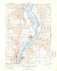
1933 Map of Lacon
USGS Topo · Published 1953About this map
The Illinois River dominates this mid-century landscape, flanked by a complex system of backwater lakes and sloughs including Goose Lake, Sawmill Lake, and Billsbach Lake. These waters separate the eastern uplands of Magnolia and Hennepin from the western bluffs and plains. The river-and-rail economy is evident in the alignment of the Chicago Rock Island and Pacific railroad, which services the valley floor and connects settlements like Henry, Sparland, and Lacon.
Find a feature on this map
93 named features on this map. Tap any name to fly to it.
Don’t see what you’re looking for? This feature index may not catch every label — zoom into the map to look around manually.
Map Details
Editions of this 1933 Lacon Map
3 editions found

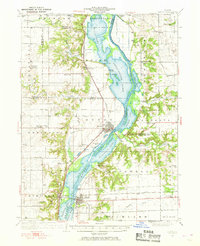
Other maps of this area

1893 · Lacon
USGS Topo · 1:62,500

1893 · Hennepin
USGS Topo · 1:62,500

1893 · Metamora
USGS Topo · 1:62,500

1893 · Dunlap
USGS Topo · 1:62,500

1893 · Lasalle
USGS Topo · 1:62,500

1898 · Dunlap
USGS Topo · 1:62,500

1909 · Hennepin
USGS Topo · 1:62,500

1911 · La Salle
USGS Topo · 1:62,500

1911 · Hennepin
USGS Topo · 1:62,500

1913 · La Salle
USGS Topo · 1:62,500