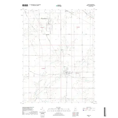
2019 Map of Ladoga
USGS Topo · Published 2019About this map
Ladoga serves as the primary hub of this Montgomery County landscape, its grid defined by streets like E Main St and Garden St. The surrounding countryside is a network of agricultural plots and drainage systems, where small settlements like Whitesville and Linnsburg sit along established transport corridors. The drainage pattern is particularly intricate, with Big Raccoon Creek and its tributary Little Raccoon Cr meandering through the southern sections, while Offield Cr and Cornstalk Creek carve through the north. Genealogists will find several family-named burial sites, including Harshbarger Cem and Stoner Cem, which remain as markers of the area's early landowning families. The map illustrates a stable rural environment where the road system, including Ladoga Rd, has long dictated the placement of homesteads and small-town commerce.
Find a feature on this map
47 named features on this map. Tap any name to fly to it.
Don’t see what you’re looking for? This feature index may not catch every label — zoom into the map to look around manually.
Map Details
Editions of this 2019 Ladoga Map
This is the sole edition of this map. No revisions or reprints were ever made.
Other maps of this area

1953 · Danville
USGS Topo · 1:250,000

1953 · Indianapolis
USGS Topo · 1:250,000

1955 · Danville
USGS Topo · 1:250,000

1955 · Russellville
USGS Topo · 1:24,000

1956 · Danville
USGS Topo · 1:250,000

1956 · Indianapolis
USGS Topo · 1:250,000

1956 · Crawfordsville
USGS Topo · 1:24,000

1956 · New Market
USGS Topo · 1:24,000

1957 · Indianapolis
USGS Topo · 1:250,000

1957 · New Ross
USGS Topo · 1:24,000