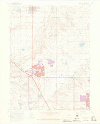
1965 Map of Lafayette
USGS Topo · Published 1973About this map
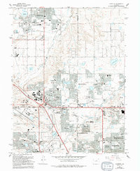
The growing communities of Broomfield and Lafayette anchor this mid-1960s survey, showing the transition of the northern Denver suburbs as they expanded along the Burlington Northern and Colorado And Southern rail lines. Urban development, noted in purple 1971 revisions, pushes eastward toward Thornton and Northglenn, while landmarks like the Jeffco Airport and the Broomfield Country Club indicate the era's changing land use. Local history is preserved in features like the Louisville Cemetery and several small rural schools including Juchem School and Hulstrom School. Water management is prominent across the landscape, with a dense network of reservoirs such as McKay Lake, Nissen Reservoir No 2, and Lower Church Lake supporting both agriculture and the emerging suburban centers. The map also records the industrial footprint of the area, noting several Mine Dump sites near Coal Creek.
Find a feature on this map
51 named features on this map. Tap any name to fly to it.
Don’t see what you’re looking for? This feature index may not catch every label — zoom into the map to look around manually.
Map Details
Editions of this 1965 Lafayette Map
5 editions found
Other maps of this area

1890 · East Denver
USGS Topo · 1:125,000

1899 · West Denver
USGS Topo · 1:125,000

1902 · Greeley
USGS Topo · 1:125,000

1904 · Niwot
USGS Topo · 1:62,500

1938 · Derby
USGS Topo · 1:24,000

1939 · Golden
USGS Topo · 1:24,000

1940 · Eastlake
USGS Topo · 1:31,680

1940 · Lafayette
USGS Topo · 1:31,680

1940 · Derby
USGS Topo · 1:31,680

1941 · Arvada
USGS Topo · 1:31,680