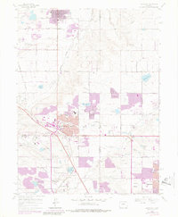
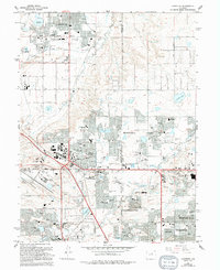
1965 Map of Lafayette
USGS Topo · Published 1980About this map
Lafayette and Broomfield anchor this study of the evolving corridor between Denver and Boulder during a period of rapid suburban expansion. The map details an landscape where agricultural infrastructure, such as the Community Ditch and Highline Canal, begins to share space with modern developments like the Broomfield Interchange and Jeffco Airport. Purple revision overlays from 1979 highlight the sudden outward growth of residential areas and corporate boundaries near the Colorado and Southern and Burlington Northern railroad lines.
Find a feature on this map
83 named features on this map. Tap any name to fly to it.
Don’t see what you’re looking for? This feature index may not catch every label — zoom into the map to look around manually.
Map Details
Editions of this 1965 Lafayette Map
5 editions found
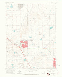
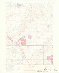
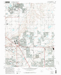
Other maps of this area

1890 · East Denver
USGS Topo · 1:125,000

1899 · West Denver
USGS Topo · 1:125,000

1902 · Greeley
USGS Topo · 1:125,000

1904 · Niwot
USGS Topo · 1:62,500

1938 · Derby
USGS Topo · 1:24,000

1939 · Golden
USGS Topo · 1:24,000

1940 · Eastlake
USGS Topo · 1:31,680

1940 · Lafayette
USGS Topo · 1:31,680

1940 · Derby
USGS Topo · 1:31,680

1941 · Arvada
USGS Topo · 1:31,680