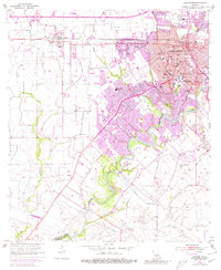
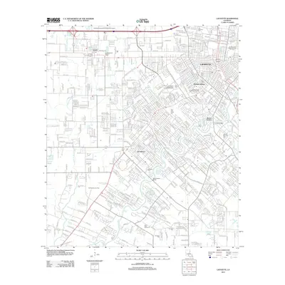
1955 Map of Lafayette
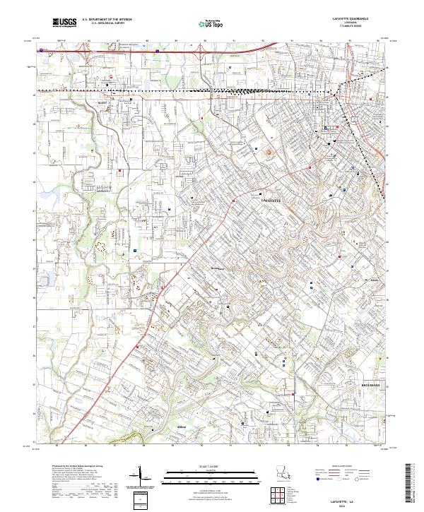
USGS Topo · Published 1972About this map
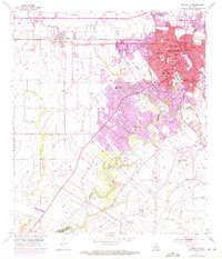
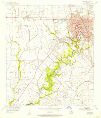
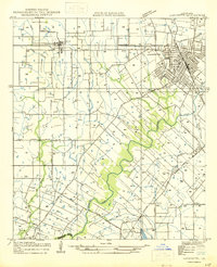
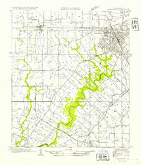
The University of Southwestern Louisiana anchors the eastern edge of this mid-century survey, which documents the urban expansion of Lafayette toward the west and south. The Southern Pacific railroad line serves as a primary transit corridor, passing through Scott and connecting the regional economy to the wider rail network. To the south, the Vermilion River meanders through the landscape, flanked by established family names and landmarks like Whittington Cemetery and the Long Plantation School. This period marks a transition in the local landscape, where institutional landmarks like St Marys Orphanage and the Southwestern Training School sit near emerging suburban developments. The map provides a detailed view of the infrastructure of the era, from the Filtration Plant and Power Plant near the municipal recreation area to the numerous churches and schools that formed the social core of the community.
Find a feature on this map
54 named features on this map. Tap any name to fly to it.
Don’t see what you’re looking for? This feature index may not catch every label — zoom into the map to look around manually.
Map Details
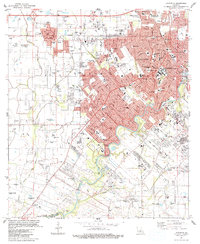
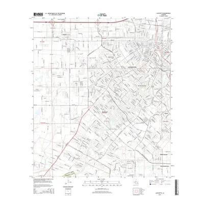
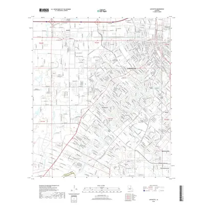
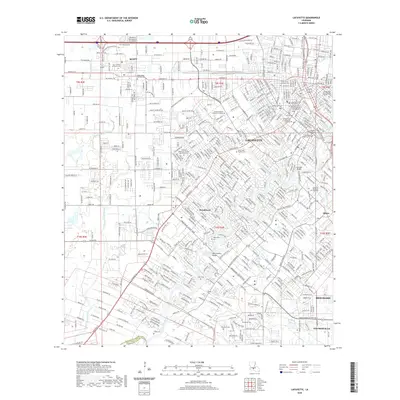
Editions of this 1955 Lafayette Map
3 editions found
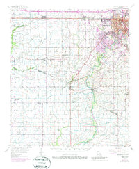
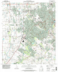
Historical Maps of Lafayette Through Time
11 maps found
1946 Lafayette
Lafayette Parish, LA
1954 Lafayette
Lafayette Parish, LA
1955 Lafayette
Lafayette Parish, LA
1955 Lafayette
Lafayette Parish, LA
1983 Lafayette
Lafayette Parish, LA
1994 Lafayette
Lafayette Parish, LA
2012 Lafayette
Lafayette Parish, LA
2015 Lafayette
Lafayette Parish, LA
2018 Lafayette
Lafayette Parish, LA
2020 Lafayette
Lafayette Parish, LA
2024 Lafayette
Lafayette Parish, LA