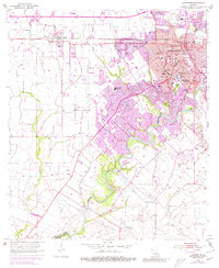
1955 Map of Lafayette
USGS Topo · Published 1980About this map
The Vermilion River snakes through this mid-century survey of Lafayette, anchoring a landscape in transition between its historic bayou roots and modern academic and urban expansion. The sprawling campus of the University of Southwestern Louisiana and the Southwestern Training Sch dominate the central core, while the Southern Pacific railroad corridor facilitates commerce through the city and nearby Scott. Numerous family and parish cemeteries, including St Marys Cem, Whittington Cem, and Broussard Cem, are scattered across the terrain, offering significant touchpoints for genealogical research. The map also captures the early suburban footprint with several institutions like the Mt Carmel Sch and Lafayette High Sch, alongside rural remnants such as the Long Plantation Sch and several coulees, including Coulee des Poches, which define the drainage of the Lafayette Parish prairies.
Find a feature on this map
40 named features on this map. Tap any name to fly to it.
Don’t see what you’re looking for? This feature index may not catch every label — zoom into the map to look around manually.
Map Details
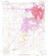
Editions of this 1955 Lafayette Map
3 editions found

Other maps of this area

1934 · Duson
USGS Topo · 1:31,680

1939 · St. Martinsville
USGS Topo · 1:62,500

1940 · Arnaudville
USGS Topo · 1:62,500

1946 · Milton
USGS Topo · 1:31,680

1946 · Leroy
USGS Topo · 1:31,680

1946 · Lafayette
USGS Topo · 1:31,680

1952 · Lake Charles
USGS Topo · 1:250,000

1954 · Lafayette
USGS Topo · 1:31,680

1954 · Duson
USGS Topo · 1:31,680
1954 · Leroy
USGS Topo · 1:31,680